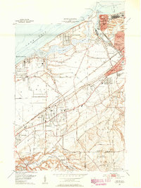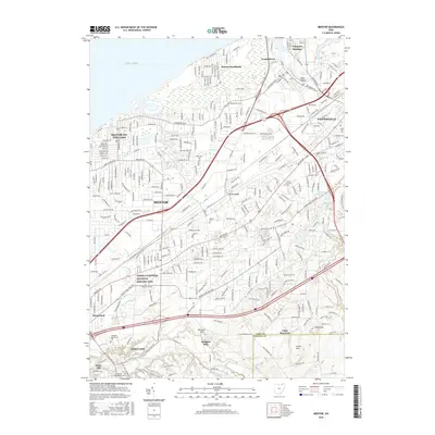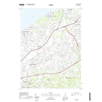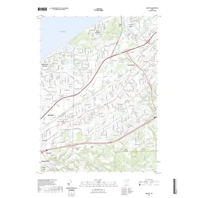
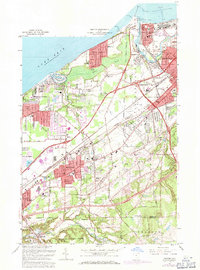
1963 Map of Mentor
USGS Topo · Published 1964About this map
The Lake Erie shoreline and the industrial mouth of the Grand River define this coastal Ohio landscape during a period of significant suburban expansion. In the northeast, Fairport Harbor stands as a busy maritime hub with its US Coast Guard Station, Lookout Tower, and numerous Salt Wells indicating the importance of the local salt industry. The transition from the lakefront communities of Mentor-on-the-Lake and Mentor Headlands to the elevated terrain of North Ridge reveals the region's glacial geography. To the south, the landscape shifts toward the wooded slopes of Little Mountain and the village of Kirtland Hills. This era shows a dense network of infrastructure, where the Baltimore and Ohio and New York Central railroads intersect near Painesville, supporting the growing residential corridors around Mentor and its various schools like Harding High Sch and Mentor Shore Sch.
Find a feature on this map
98 named features on this map. Tap any name to fly to it.
Don’t see what you’re looking for? This feature index may not catch every label — zoom into the map to look around manually.
Map Details
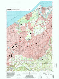
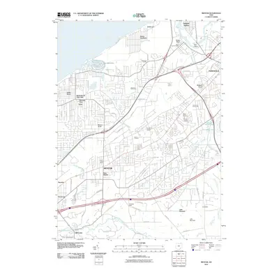
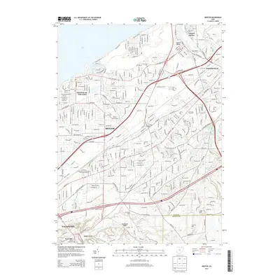
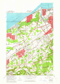
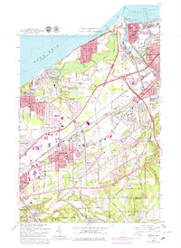
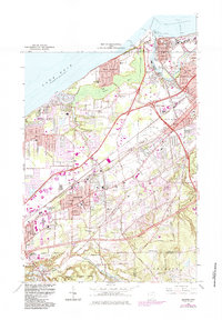
Editions of this 1963 Mentor Map
5 editions found
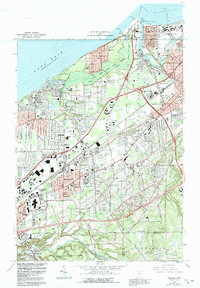
Historical Maps of Mentor Through Time
10 maps found