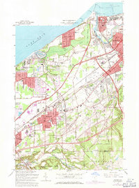
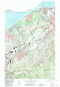
1963 Map of Mentor
USGS Topo · Published 1971About this map
Industrial shoreline facilities and growing residential suburbs define this coastal portion of Lake County in the early 1960s. The commercial heart of Painesville and the nautical operations of Fairport Harbor anchor the eastern edge, where the Grand River meets Lake Erie. Significant maritime infrastructure is visible near the U S Coast Guard Station, while the extensive Mentor Marsh provides a natural break between the lakefront developments of Mentor Headlands and Mentor-on-the-Lake. Inland, the landscape rises toward North Ridge and South Ridge, marking the transition into the higher terrain of Kirtland Hills and Little Mountain. A dense network of schools, such as Mentor Shore Sch and Center St Sch, alongside several local churches like St Marys Ch, reveals the post-war suburban expansion that was beginning to fill the spaces between the historical Baltimore and Ohio and Penn Central railroad corridors.
Find a feature on this map
53 named features on this map. Tap any name to fly to it.
Don’t see what you’re looking for? This feature index may not catch every label — zoom into the map to look around manually.
Map Details
Editions of this 1963 Mentor Map
5 editions found
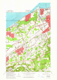
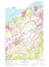
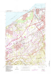
Other maps of this area

1904 · Chardon
USGS Topo · 1:62,500

1905 · Perry
USGS Topo · 1:62,500

1905 · Mentor
USGS Topo · 1:62,500

1906 · Chardon
USGS Topo · 1:62,500

1907 · Mentor
USGS Topo · 1:62,500

1950 · Cleveland
USGS Topo · 1:250,000

1953 · Chardon
USGS Topo · 1:24,000
1953 · Mayfield Heights
USGS Topo · 1:24,000

1953 · Chesterland
USGS Topo · 1:24,000

1953 · Mentor
USGS Topo · 1:24,000