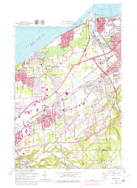
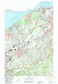
1963 Map of Mentor
USGS Topo · Published 1979About this map
The Lake Erie shoreline in Lake County undergoes significant industrial and suburban expansion in this updated survey, anchored by the bustling harbor at Fairport Harbor and the burgeoning community of Mentor. The mouth of the Grand River is a focal point of activity, featuring the U S Coast Guard Station, Painesville Waterworks, and a network of salt wells and setting basins near the Baltimore and Ohio rail lines. To the west, the landscape transitions from the protected dunes of Headlands Beach State Park into the residential developments of Mentor-on-the-Lake and Brentwood.
Find a feature on this map
59 named features on this map. Tap any name to fly to it.
Don’t see what you’re looking for? This feature index may not catch every label — zoom into the map to look around manually.
Map Details
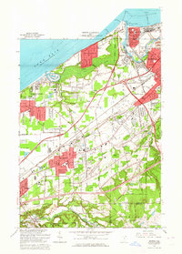
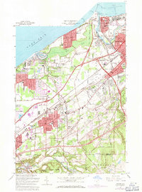
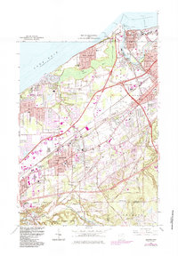
Editions of this 1963 Mentor Map
5 editions found
Other maps of this area

1904 · Chardon
USGS Topo · 1:62,500

1905 · Perry
USGS Topo · 1:62,500

1905 · Mentor
USGS Topo · 1:62,500

1906 · Chardon
USGS Topo · 1:62,500

1907 · Mentor
USGS Topo · 1:62,500

1950 · Cleveland
USGS Topo · 1:250,000

1953 · Chardon
USGS Topo · 1:24,000
1953 · Mayfield Heights
USGS Topo · 1:24,000

1953 · Chesterland
USGS Topo · 1:24,000

1953 · Mentor
USGS Topo · 1:24,000