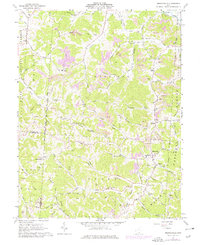
1961 Map of Mercerville
USGS Topo · Published 1977About this map
Indian Guyan Creek and its many tributaries, such as Rocklick Creek and Perigen Creek, define the complex geography of this Gallia County landscape. The settlement at Mercerville serves as a central hub, flanked by the Hannan-Trace High Sch and several family-named burial grounds like the Ridgelawn Cem. The area's mid-century industrial footprint is evident in the numerous Strip Mines that dot the ridges, particularly near Saundersville and Leaper.
Find a feature on this map
94 named features on this map. Tap any name to fly to it.
Don’t see what you’re looking for? This feature index may not catch every label — zoom into the map to look around manually.
Map Details
Editions of this 1961 Mercerville Map
4 editions found
Other maps of this area

1906 · Bidwell
USGS Topo · 1:62,500

1906 · Athalia
USGS Topo · 1:62,500

1906 · Glenwood
USGS Topo · 1:62,500

1908 · Bidwell
USGS Topo · 1:62,500

1908 · Athalia
USGS Topo · 1:62,500

1908 · Glenwood
USGS Topo · 1:62,500

1908 · Point Pleasant
USGS Topo · 1:62,500

1926 · Point Pleasant
USGS Topo · 1:62,500

1929 · Point Pleasant
USGS Topo · 1:62,500

1957 · Huntington
USGS Topo · 1:250,000