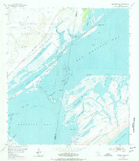
1952 Map of Mesquite Bay
USGS Topo · Published 1977About this map
The Aransas National Wildlife Refuge dominates the upper reaches of this coastal survey, stretching across the Blackjack Peninsula where the landscape is dotted with several Carlos Windmills and gas wells. This environment is defined by an intricate network of marshes and tidal flats, including Mustang Slough and Redfish Slough, which separate the mainland from the barrier system of Matagorda Island.
Find a feature on this map
42 named features on this map. Tap any name to fly to it.
Don’t see what you’re looking for? This feature index may not catch every label — zoom into the map to look around manually.
Map Details
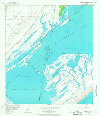
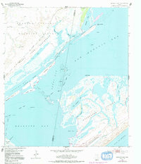
Editions of this 1952 Mesquite Bay Map
4 editions found
Other maps of this area

1952 · Mosquito Point
USGS Topo · 1:24,000

1952 · St. Charles Bay SW
USGS Topo · 1:24,000

1952 · St. Charles Bay
USGS Topo · 1:24,000

1952 · Mesquite Bay
USGS Topo · 1:24,000

1952 · Tivoli SE
USGS Topo · 1:24,000

1952 · Panther Point
USGS Topo · 1:24,000

1952 · Tivoli SW
USGS Topo · 1:24,000

1952 · St. Charles Bay SE
USGS Topo · 1:24,000

1953 · Beeville
USGS Topo · 1:250,000

1956 · Beeville
USGS Topo · 1:250,000