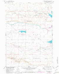
1958 Map of Mexican Pass SE
USGS Topo · Published 1981About this map
The Wind River Indian Reservation occupies the northern portion of this landscape, marking a boundary between tribal lands and the managed water systems of central Wyoming. This mid-century survey documents a highly engineered environment where the Riverton Reclamation Withdrawal Area dominates the terrain, facilitated by the Wyoming Canal and its associated drains. These irrigation systems fundamentally reshaped the hydrology around Sand Mesa, supporting a network of artificial water bodies including Middle Reservoir and Lake Cameahwait. The transition from arid desert to managed wildlife habitats is evidenced by the State Wildlife Management Area segments along Muddy Creek. Near the eastern edge, the rise of the Boysen Reservoir and the establishment of Boysen State Park illustrate the era's focus on large-scale water storage and recreation, while an isolated Oil Well to the north points toward the region's mineral interests.
Find a feature on this map
17 named features on this map. Tap any name to fly to it.
Don’t see what you’re looking for? This feature index may not catch every label — zoom into the map to look around manually.
Map Details
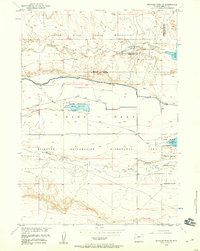
Editions of this 1958 Mexican Pass SE Map
2 editions found
Other maps of this area

1950 · Mexican Pass SW
USGS Topo · 1:24,000

1950 · Bonneville SW
USGS Topo · 1:24,000

1951 · Mexican Pass SE
USGS Topo · 1:24,000

1951 · Boysen
USGS Topo · 1:24,000

1951 · Mexican Pass
USGS Topo · 1:24,000

1951 · Morrison Canyon
USGS Topo · 1:24,000

1951 · Hidden Valley
USGS Topo · 1:24,000

1952 · Riverton NE
USGS Topo · 1:24,000

1952 · Lost Wells Butte
USGS Topo · 1:24,000

1955 · Thermopolis
USGS Topo · 1:250,000