
1890 Map of Mexico
USGS Topo · Published 1890About this map
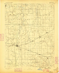
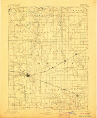
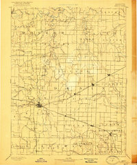
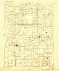
Mexico serves as the central hub for this late 19th-century landscape, where the convergence of the Chicago and Alton Railroad and the Wabash Railroad dictated the growth of the region. The map illustrates a transition from the river-oriented settlements of the north, like Florida and Santa Fe along the South Fork Salt River, to the rail-aligned towns of the south. These iron corridors spurred the development of Laddonia, Rush Hill, and Benton City, which appear here in their early stages of growth.
Find a feature on this map
77 named features on this map. Tap any name to fly to it.
Don’t see what you’re looking for? This feature index may not catch every label — zoom into the map to look around manually.
Map Details
Editions of this 1890 Mexico Map
5 editions found
Other maps of this area

1886 · Jefferson City
USGS Topo · 1:125,000

1890 · Louisiana
USGS Topo · 1:125,000

1890 · Moberly
USGS Topo · 1:125,000

1890 · Hermann
USGS Topo · 1:125,000

1890 · Fulton
USGS Topo · 1:125,000

1894 · Jefferson City
USGS Topo · 1:125,000

1903 · Palmyra
USGS Topo · 1:125,000

1928 · Fulton
USGS Topo · 1:62,500

1931 · Fulton
USGS Topo · 1:62,500

1932 · Mexico
USGS Topo · 1:62,500