
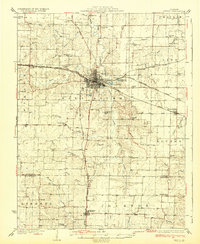
1932 Map of Mexico
USGS Topo · Published 1932About this map
Mexico serves as a significant rail hub in this early 1930s depiction of Audrain County, where the Chicago and Alton RR, Wabash RR, and Chicago Burlington and Quincy RR converge. The town's layout is dominated by the Mo Military Academy and a centralized grid system, while the surrounding rural landscape is remarkably dense with one-room schoolhouses like Hedgesdale Sch and Maple Grove Sch, indicating a well-populated agricultural hinterland before the consolidation of rural districts.
Find a feature on this map
72 named features on this map. Tap any name to fly to it.
Don’t see what you’re looking for? This feature index may not catch every label — zoom into the map to look around manually.
Map Details
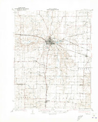
Editions of this 1932 Mexico Map
3 editions found
Other maps of this area

1886 · Jefferson City
USGS Topo · 1:125,000

1890 · Mexico
USGS Topo · 1:125,000

1890 · Moberly
USGS Topo · 1:125,000

1890 · Fulton
USGS Topo · 1:125,000

1894 · Jefferson City
USGS Topo · 1:125,000

1928 · Fulton
USGS Topo · 1:62,500

1931 · Fulton
USGS Topo · 1:62,500

1940 · Montgomery City
USGS Topo · 1:62,500

1942 · Montgomery City
USGS Topo · 1:62,500

1942 · Wellsville
USGS Topo · 1:62,500