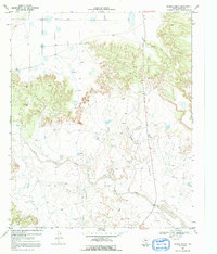
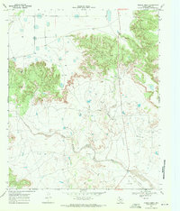
1969 Map of Middle Creek
USGS Topo · Published 1992About this map
The Double Mountain Fork Brazos River carves a deep winding path through this West Texas landscape, joined from the north by Middle Creek and from the south by Salt Creek. In the late 1960s, this area of Garza County remained defined by expansive ranching operations and emerging energy infrastructure. The prominent U Lazy S Ranch occupies a central position, supported by a remote Landing Strip and a network of unimproved roads and fence lines. Evidence of local industry is scattered across the terrain, from a Gravel Pit in the north to numerous Oil Well sites and a major Pipeline cutting across the southern reaches. The topography reveals a dramatic transition from flat uplands to the eroded breaks of the Brazos River basin, illustrating the stark geography of the Llano Estacado's edge.
Find a feature on this map
9 named features on this map. Tap any name to fly to it.
Don’t see what you’re looking for? This feature index may not catch every label — zoom into the map to look around manually.
Map Details
Editions of this 1969 Middle Creek Map
2 editions found
Other maps of this area

1954 · Lubbock
USGS Topo · 1:250,000

1954 · Big Spring
USGS Topo · 1:250,000

1958 · Big Spring
USGS Topo · 1:250,000

1969 · Gail NE
USGS Topo · 1:24,000

1969 · Beal Hollow
USGS Topo · 1:24,000

1969 · Indian Canyon NE
USGS Topo · 1:24,000

1969 · Post East
USGS Topo · 1:24,000

1969 · Grassland SE
USGS Topo · 1:24,000

1969 · Post West
USGS Topo · 1:24,000

1969 · Cooper Creek
USGS Topo · 1:24,000