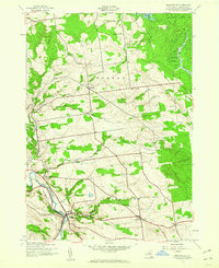
1943 Map of Middleville
USGS Topo · Published 1960About this map
West Canada Creek anchors the southwestern corner of this mid-century landscape, where the settlement of Middleville sits at the base of Harter Hill. The terrain rises toward the north and east, transitioning into the southwestern edge of the Adirondack State Park. This region is defined by rural townships and scattered hamlets like Norway, Fairfield, and the evocative Old City.
Find a feature on this map
28 named features on this map. Tap any name to fly to it.
Don’t see what you’re looking for? This feature index may not catch every label — zoom into the map to look around manually.
Map Details
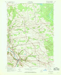
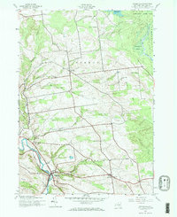
Editions of this 1943 Middleville Map
Other maps of this area

1897 · Remsen
USGS Topo · 1:62,500

1898 · Utica
USGS Topo · 1:62,500

1900 · Little Falls
USGS Topo · 1:62,500

1900 · Utica
USGS Topo · 1:62,500

1900 · Remsen
USGS Topo · 1:62,500

1900 · Wilmurt
USGS Topo · 1:62,500

1902 · Wilmurt
USGS Topo · 1:62,500

1903 · Little Falls
USGS Topo · 1:62,500

1939 · Little Falls
USGS Topo · 1:62,500

1943 · Newport
USGS Topo · 1:24,000