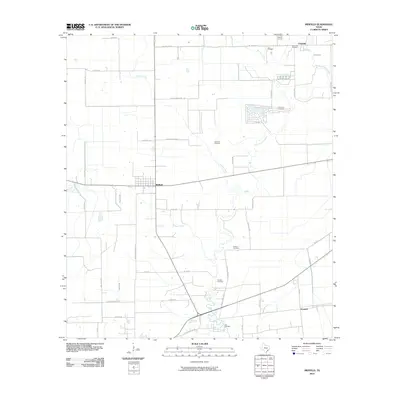
2010 Map of Midfield
USGS Topo · Published 2010About this map
Midfield sits at the heart of this coastal prairie landscape in Matagorda County, where the sprawling drainage of the Tres Palacios River and its many tributaries like Juanita Creek and Wallace Creek dictate the layout of the land. The settlement pattern is defined by rural crossroads and small communities such as Clemville to the north and Elmaton to the southeast. Industrial activity is concentrated at the Clemville Oil Field, a notable landmark near the northern boundary.
Find a feature on this map
49 named features on this map. Tap any name to fly to it.
Don’t see what you’re looking for? This feature index may not catch every label — zoom into the map to look around manually.
Map Details
Editions of this 2010 Midfield Map
This is the sole edition of this map. No revisions or reprints were ever made.
Other maps of this area

1951 · Danevang
USGS Topo · 1:24,000

1952 · Lane City SE
USGS Topo · 1:24,000

1952 · Blessing SE
USGS Topo · 1:24,000

1952 · Francitas
USGS Topo · 1:24,000

1952 · Blessing
USGS Topo · 1:24,000

1952 · Markham
USGS Topo · 1:24,000

1952 · Francitas NE
USGS Topo · 1:24,000

1952 · Midfield
USGS Topo · 1:24,000

1953 · Beeville
USGS Topo · 1:250,000

1953 · Seguin
USGS Topo · 1:250,000