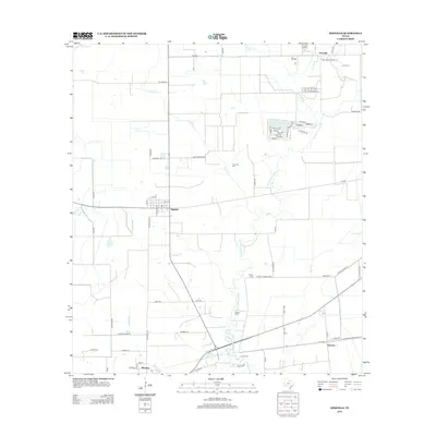
2013 Map of Midfield
USGS Topo · Published 2013About this map
Tres Palacios River meanders south through this Matagorda County landscape, providing the primary drainage for a coastal prairie characterized by agricultural fields and oil extraction. In the northern reaches, the Clemville Oil Field and the settlement of Clemville signal the area's industrial importance, while the central town of Midfield serves as a local hub near the intersection of Nygard Rd and F-M 1468.
Find a feature on this map
74 named features on this map. Tap any name to fly to it.
Don’t see what you’re looking for? This feature index may not catch every label — zoom into the map to look around manually.
Map Details
Editions of this 2013 Midfield Map
This is the sole edition of this map. No revisions or reprints were ever made.
Other maps of this area

1951 · Danevang
USGS Topo · 1:24,000

1952 · Lane City SE
USGS Topo · 1:24,000

1952 · Blessing SE
USGS Topo · 1:24,000

1952 · Francitas
USGS Topo · 1:24,000

1952 · Blessing
USGS Topo · 1:24,000

1952 · Markham
USGS Topo · 1:24,000

1952 · Francitas NE
USGS Topo · 1:24,000

1952 · Midfield
USGS Topo · 1:24,000

1953 · Beeville
USGS Topo · 1:250,000

1953 · Seguin
USGS Topo · 1:250,000