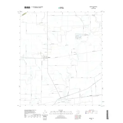
2019 Map of Midfield
USGS Topo · Published 2019About this map
The Tres Palacios River winds through the heart of this Matagorda County landscape, defining a coastal prairie region marked by agricultural roads and scattered family heritage sites. Near the junction of Farm Market 2431 and Co Rd 451, the settlement of Midfield sits at the center of a network of drainage features like Juanita Creek and Wallace Creek. This area preserves several distinct burial grounds, including Cornelius Cemetery and Partain Cemetery, which serve as primary markers of early ranching and farming lineages.
Find a feature on this map
78 named features on this map. Tap any name to fly to it.
Don’t see what you’re looking for? This feature index may not catch every label — zoom into the map to look around manually.
Map Details
Editions of this 2019 Midfield Map
This is the sole edition of this map. No revisions or reprints were ever made.
Other maps of this area

1951 · Danevang
USGS Topo · 1:24,000

1952 · Lane City SE
USGS Topo · 1:24,000

1952 · Blessing SE
USGS Topo · 1:24,000

1952 · Francitas
USGS Topo · 1:24,000

1952 · Blessing
USGS Topo · 1:24,000

1952 · Markham
USGS Topo · 1:24,000

1952 · Francitas NE
USGS Topo · 1:24,000

1952 · Midfield
USGS Topo · 1:24,000

1953 · Beeville
USGS Topo · 1:250,000

1953 · Seguin
USGS Topo · 1:250,000