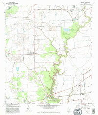
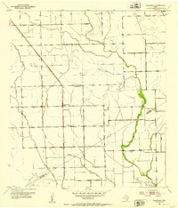
1995 Map of Midfield
USGS Topo · Published 1995About this map
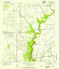
Midfield and its surrounding coastal prairies define this portion of the Texas Gulf Coast, where the landscape is intricately carved by the Tres Palacios River and its various tributaries like Juanita Creek and Willow Creek. This area in Matagorda County shows a clear pattern of rural settlement and industry, marked by the presence of an expansive Oil And Gas Field and several small community centers including Clemville, Elmaton, and Blessing.
Find a feature on this map
20 named features on this map. Tap any name to fly to it.
Don’t see what you’re looking for? This feature index may not catch every label — zoom into the map to look around manually.
Map Details
Editions of this 1995 Midfield Map
This is the sole edition of this map. No revisions or reprints were ever made.
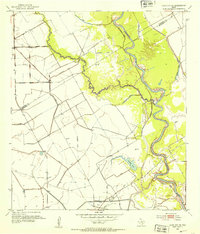
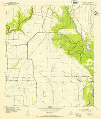
Other maps of this area
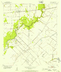
1951 · Danevang
USGS Topo · 1:24,000
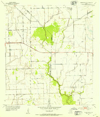
1952 · Lane City SE
USGS Topo · 1:24,000
1952 · Blessing SE
USGS Topo · 1:24,000
1952 · Francitas
USGS Topo · 1:24,000
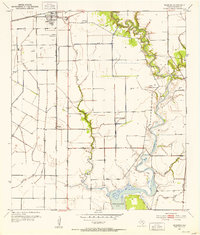
1952 · Blessing
USGS Topo · 1:24,000
1952 · Markham
USGS Topo · 1:24,000
1952 · Francitas NE
USGS Topo · 1:24,000
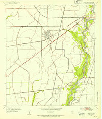
1952 · Midfield
USGS Topo · 1:24,000

1953 · Beeville
USGS Topo · 1:250,000

1953 · Seguin
USGS Topo · 1:250,000