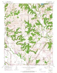
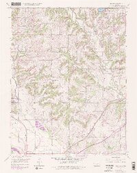
1950 Map of Midland
USGS Topo · Published 1968About this map
Midland sits at the confluence of transport and terrain where the Union Pacific rail line and the later Kansas Turnpike bisect the river-bottom lands. The landscape transitions from the southern flats near the Kansas River and Mud Creek to the dissected uplands of Sarcoxie and Tonganoxie townships. This 1950 survey, with purple photorevisions from 1967, documents a rural educational landscape transitioning toward modernization, noting several local country schools including Mound Sch, O'Neil Sch, and Mackey Sch.
Find a feature on this map
27 named features on this map. Tap any name to fly to it.
Don’t see what you’re looking for? This feature index may not catch every label — zoom into the map to look around manually.
Map Details
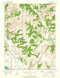
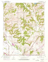
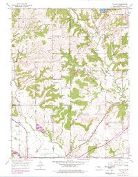
Editions of this 1950 Midland Map
5 editions found
Other maps of this area

1885 · Lawrence
USGS Topo · 1:125,000

1886 · Oskaloosa
USGS Topo · 1:125,000

1888 · Oskaloosa
USGS Topo · 1:125,000

1889 · Lawrence
USGS Topo · 1:125,000

1894 · Oskaloosa
USGS Topo · 1:125,000

1947 · Lawrence
USGS Topo · 1:250,000

1948 · Jarbalo
USGS Topo · 1:24,000

1949 · Williamstown
USGS Topo · 1:24,000

1950 · Kansas City
USGS Topo · 1:250,000

1950 · Williamstown
USGS Topo · 1:24,000