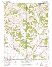
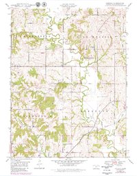
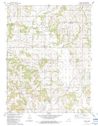
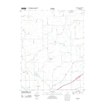
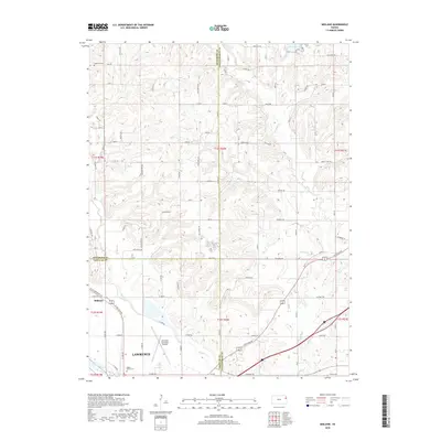
1950 Map of Midland
USGS Topo · Published 1978About this map
Midland sits at the western edge of this landscape where the Union Pacific railroad and Mud Creek intersect. This mid-century survey illustrates a period of significant infrastructure development in northeastern Kansas, most notably the path of the Kansas Turnpike and the Lawrence Municipal Airport. The rural character of the terrain is defined by its small district schools, such as Knowledge Hill Sch and Mound Sch, alongside family-named landmarks like Hardy Oak Cem. To the north, the waters of State Lake within Leavenworth State Park provide a recreational anchor, while the southern border follows the winding course of the Wakarusa River. The transition between agricultural townships like Sarcoxie and Tonganoxie is traced by numerous creeks, including Ninemile Creek and Pony Creek, that drain the undulating prairie landscape.
Find a feature on this map
31 named features on this map. Tap any name to fly to it.
Don’t see what you’re looking for? This feature index may not catch every label — zoom into the map to look around manually.
Map Details
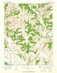
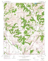
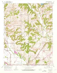
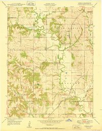
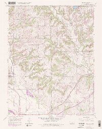
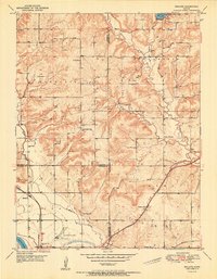
Editions of this 1950 Midland Map
5 editions found
Historical Maps of Lawrence Through Time
15 maps found
1948 Jarbalo
Leavenworth County, KS
1950 Jarbalo
Leavenworth County, KS
1950 Midland
Leavenworth County, KS
1951 Midland
Leavenworth County, KS
1984 Jarbalo
Leavenworth County, KS
2009 Jarbalo
Leavenworth County, KS
2010 Midland
Leavenworth County, KS
2012 Jarbalo
Leavenworth County, KS
2012 Midland
Leavenworth County, KS
2015 Jarbalo
Leavenworth County, KS
2016 Midland
Leavenworth County, KS
2018 Jarbalo
Leavenworth County, KS
2018 Midland
Leavenworth County, KS
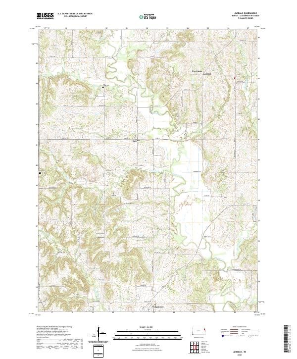
2022 Jarbalo
Leavenworth County, KS
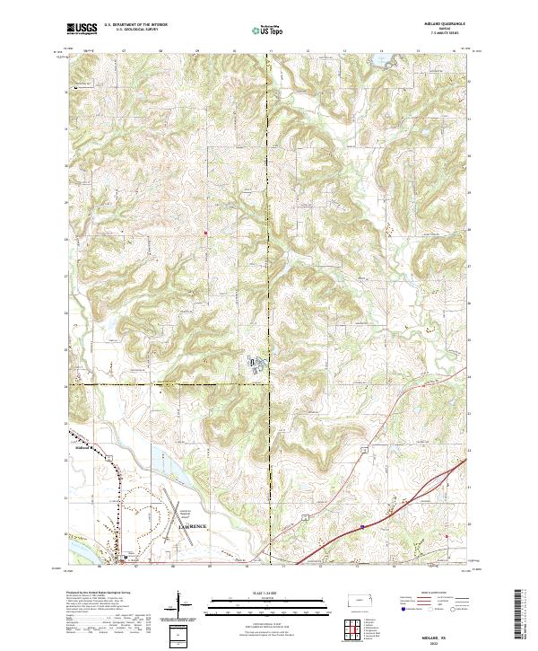
2022 Midland
Leavenworth County, KS