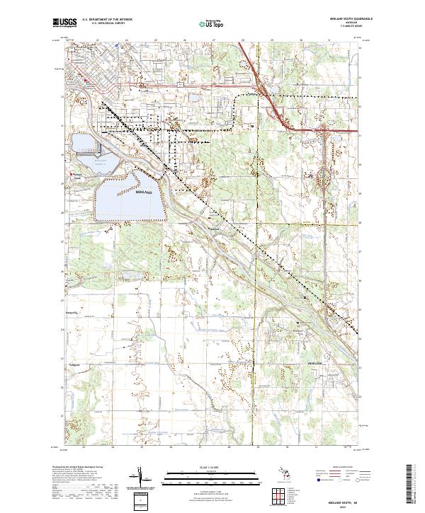
2023 Map of Midland South
USGS Topo · Published 2023About this map
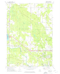
The Tittabawassee River winds through this landscape, serving as a central geographic anchor for the communities of Midland, Mapleton, and Freeland. The map reveals a densely managed hydrological network, where dozens of named waterworks like the Shaffner and Major Drain, Thurlow Tile Drain, and Zimmerman Drain define the local drainage patterns. In the north, the urban core of Midland includes the Midland County Courthouse and the Delta College Downtown Midland campus, surrounded by a grid of residential and industrial areas such as Brine Pond Number 6. Moving south, the terrain transitions into a more rural character marked by family landmarks and small settlements like Poseyville. Notable burial grounds, including the Arrance Family Cem and Pine Grove Cem, offer specific points of interest for those researching local lineage and the placement of historic homesteads.
Find a feature on this map
99 named features on this map. Tap any name to fly to it.
Don’t see what you’re looking for? This feature index may not catch every label — zoom into the map to look around manually.
Map Details
Editions of this 2023 Midland South Map
This is the sole edition of this map. No revisions or reprints were ever made.
Historical Maps of Williams Township Through Time
20 maps found
1962 Midland North
Midland County, MI
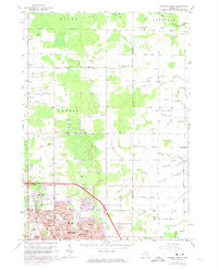
1962 Midland South
Midland County, MI
1969 Edenville
Midland County, MI
1969 Estey
Midland County, MI
1969 Hope
Midland County, MI
1973 Alamando
Midland County, MI
1973 Averill
Midland County, MI
1973 Floyd
Midland County, MI
1973 Gordonville
Midland County, MI
1973 Pleasant Valley
Midland County, MI
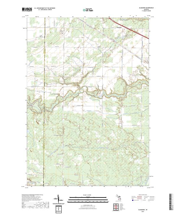
2023 Alamando
Midland County, MI
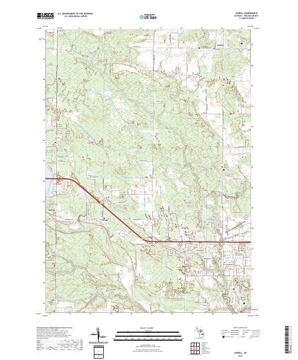
2023 Averill
Midland County, MI
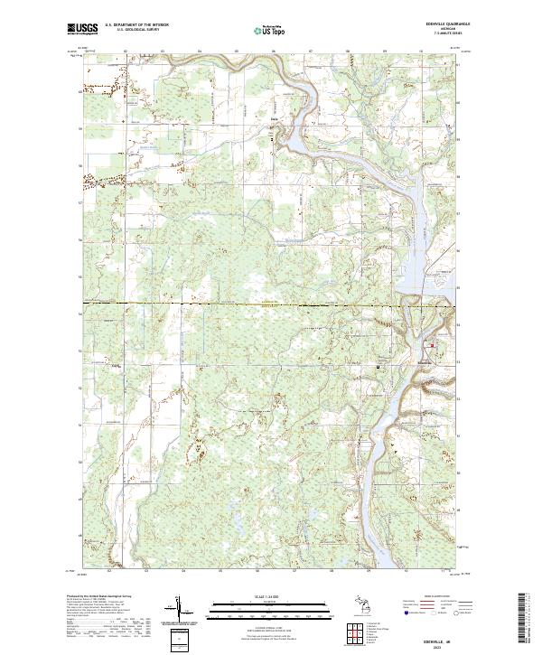
2023 Edenville
Midland County, MI
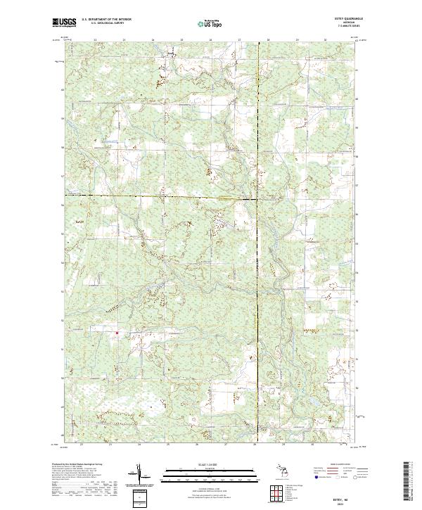
2023 Estey
Midland County, MI
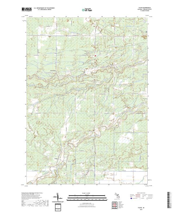
2023 Floyd
Midland County, MI
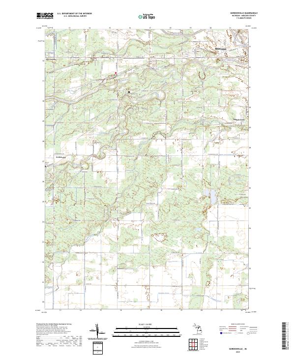
2023 Gordonville
Midland County, MI
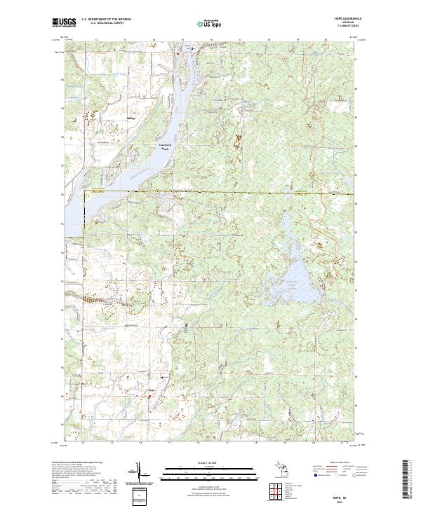
2023 Hope
Midland County, MI
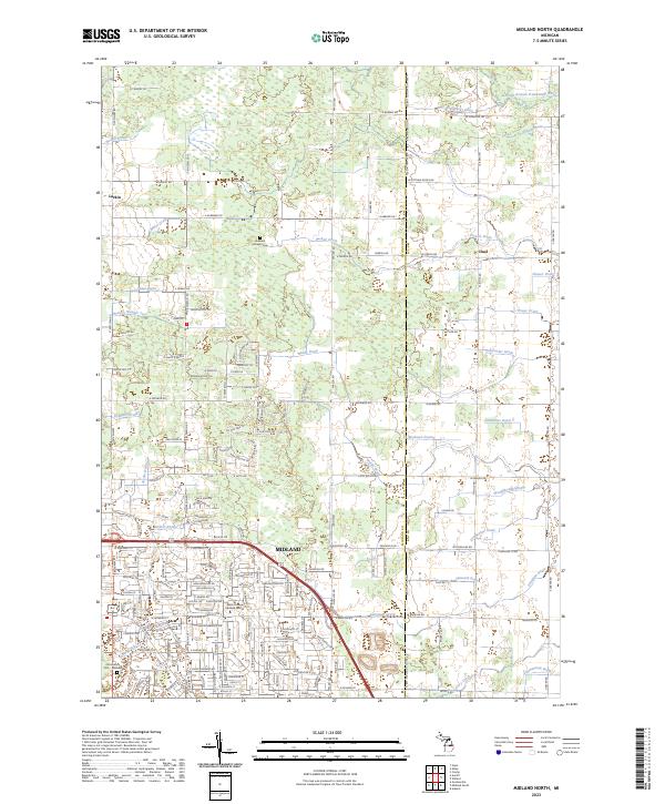
2023 Midland North
Midland County, MI
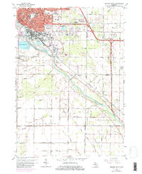
2023 Midland South
Midland County, MI
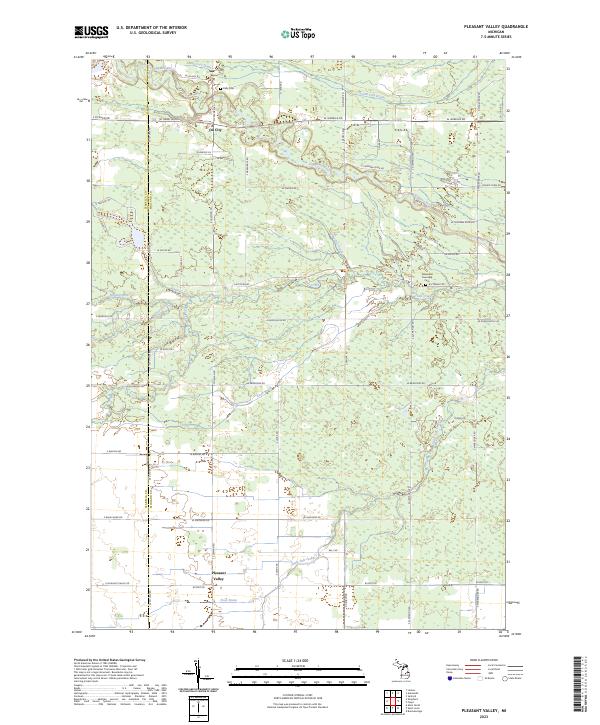
2023 Pleasant Valley
Midland County, MI
Featured Locations
- Ingersoll Township, MI
- Midland, MI
- Midland Charter Township, MI
- Poseyville, Ingersoll Township
- Dean, Midland