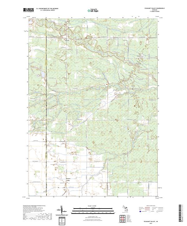
2023 Map of Pleasant Valley
USGS Topo · Published 2023About this map
Oil City and Pleasant Valley anchor this modern topographical study of the borderlands between Isabella and Midland Counties. The landscape is defined by an intricate network of drainage and natural waterways, including the winding Chippewa River and the complex system of the Salt Creek and Little Salt Creek. The rural character is reinforced by long-established landmarks such as Kelly Cem in the north and the Greendale Township Cem to the east, providing essential points of reference for genealogical research.
Find a feature on this map
58 named features on this map. Tap any name to fly to it.
Don’t see what you’re looking for? This feature index may not catch every label — zoom into the map to look around manually.
Map Details
Editions of this 2023 Pleasant Valley Map
This is the sole edition of this map. No revisions or reprints were ever made.
Other maps of this area

1930 · Shepherd
USGS Topo · 1:48,000

1934 · Sanford
USGS Topo · 1:62,500

1934 · Merrill
USGS Topo · 1:62,500

1935 · Alma
USGS Topo · 1:62,500

1936 · Shepherd
USGS Topo · 1:62,500

1936 · Sanford
USGS Topo · 1:62,500

1937 · Merrill
USGS Topo · 1:62,500

1938 · Alma
USGS Topo · 1:62,500

1954 · Midland
USGS Topo · 1:250,000

1958 · Midland
USGS Topo · 1:250,000