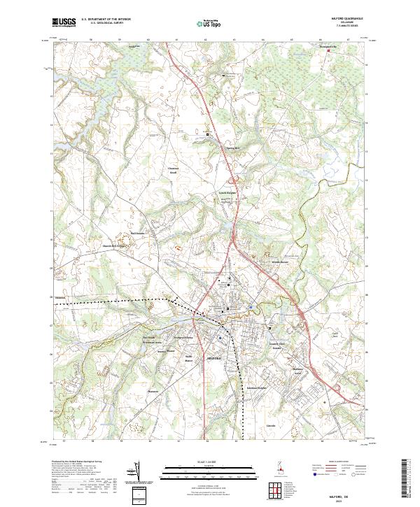
2023 Map of Milford
USGS Topo · Published 2023About this map
The Mispillion River serves as the dividing line between Kent Co and Sussex Co, winding through the heart of Milford. This 2023 survey reveals a landscape where modern residential expansion meets colonial-era roots, evidenced by the numerous cemeteries and churches concentrated near the river corridor. Significant burial sites such as the Old Community Cem, Milford Community Cem, and the Methodist Episcopal Cem offer essential data for genealogists tracing family lineages in this part of the Delmarva Peninsula.
Find a feature on this map
197 named features on this map. Tap any name to fly to it.
Don’t see what you’re looking for? This feature index may not catch every label — zoom into the map to look around manually.
Map Details
Editions of this 2023 Milford Map
This is the sole edition of this map. No revisions or reprints were ever made.
Other maps of this area

1899 · Vineland
USGS Topo · 1:125,000

1899 · Dover
USGS Topo · 1:125,000

1906 · Dover
USGS Topo · 1:125,000

1918 · Cedar Creek
USGS Topo · 1:62,500

1918 · Harrington
USGS Topo · 1:62,500

1919 · Cedar Creek
USGS Topo · 1:62,500

1919 · Vineland
USGS Topo · 1:125,000

1920 · Dover
USGS Topo · 1:125,000

1926 · Wyoming
USGS Topo · 1:48,000

1930 · Wyoming
USGS Topo · 1:62,500