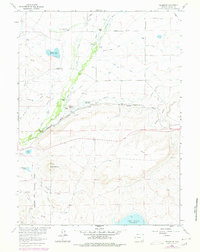
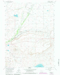
1962 Map of Millbrook
USGS Topo · Published 1978About this map
Ranching operations and sophisticated irrigation systems define this high-plains landscape along the Little Laramie River. The presence of the Millbrook Sch and various family-named holdings, such as Whitney Ranch and Croonberg Ranch, indicate a well-established rural community organized around the water and rail corridors. The Union Pacific railroad cuts through the center of the sheet, running parallel to the Millbrook Res No 1 and Millbrook Res No 2 reservoirs. This infrastructure supported the movement of livestock and goods in a region where the historic Overland Trail once crossed the northern plains.
Find a feature on this map
35 named features on this map. Tap any name to fly to it.
Don’t see what you’re looking for? This feature index may not catch every label — zoom into the map to look around manually.
Map Details
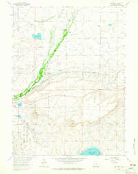
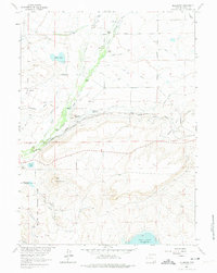
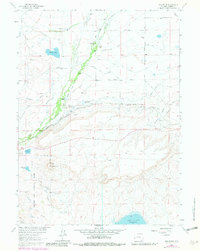
Editions of this 1962 Millbrook Map
5 editions found
Other maps of this area

1895 · Laramie
USGS Topo · 1:125,000

1902 · Laramie
USGS Topo · 1:125,000

1905 · Laramie
USGS Topo · 1:125,000

1906 · Medicine Bow
USGS Topo · 1:125,000

1906 · Laramie
USGS Topo · 1:125,000

1908 · Laramie
USGS Topo · 1:125,000

1908 · Medicine Bow
USGS Topo · 1:125,000

1954 · Cheyenne
USGS Topo · 1:250,000

1954 · Rawlins
USGS Topo · 1:250,000

1958 · Rawlins
USGS Topo · 1:250,000