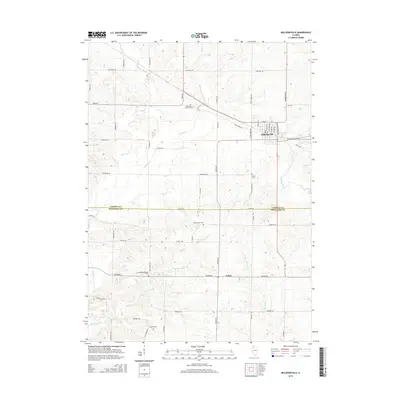
2015 Map of Milledgeville
USGS Topo · Published 2015About this map
Milledgeville serves as the primary municipal center in this Illinois landscape, situated just north of the Carroll Co Whiteside Co line. The town's grid is clearly defined by local thoroughfares such as Stover Ave and Main Ave, while the village of Coleta lies to the south, marking a secondary pocket of settlement amidst a vast agricultural network. The terrain is deeply etched by a complex drainage system, where Otter Creek and Rock Creek wind through the western and central sections, eventually joined by Elkhorn Creek in the east.
Find a feature on this map
54 named features on this map. Tap any name to fly to it.
Don’t see what you’re looking for? This feature index may not catch every label — zoom into the map to look around manually.
Map Details
Editions of this 2015 Milledgeville Map
This is the sole edition of this map. No revisions or reprints were ever made.
Other maps of this area

1930 · Woodsung
USGS Topo · 1:48,000

1934 · Morrison
USGS Topo · 1:48,000

1940 · Morrison
USGS Topo · 1:62,500

1942 · Mt Carroll
USGS Topo · 1:62,500

1942 · Forreston
USGS Topo · 1:62,500

1944 · Mt Carroll
USGS Topo · 1:62,500

1945 · Forreston
USGS Topo · 1:62,500

1946 · Sterling
USGS Topo · 1:62,500

1948 · Sterling
USGS Topo · 1:62,500

1954 · Rockford
USGS Topo · 1:250,000