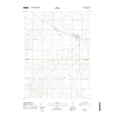
2018 Map of Milledgeville
USGS Topo · Published 2018About this map
Milledgeville and the nearby village of Coleta anchor this survey of the borderlands between Carroll and Whiteside Counties. The landscape is defined by the winding paths of Otter Cr and Rock Cr, which cut through the agricultural terrain of northwestern Illinois. A network of rural routes like Livingood Rd and Fairhaven Rd connects several scattered historic burial sites, providing a clear map of the area's pioneer heritage. Among these are the Dutchtown Brethern Cem, the Hazel Green Cem south of the county line, and the Colcord Cem near the banks of Blue Goose Rd. This contemporary topographic record preserves the precise layout of local township roads and the drainage patterns of Elkhorn Creek and its various tributaries as they appeared in the early 21st century.
Find a feature on this map
59 named features on this map. Tap any name to fly to it.
Don’t see what you’re looking for? This feature index may not catch every label — zoom into the map to look around manually.
Map Details
Editions of this 2018 Milledgeville Map
This is the sole edition of this map. No revisions or reprints were ever made.
Other maps of this area

1930 · Woodsung
USGS Topo · 1:48,000

1934 · Morrison
USGS Topo · 1:48,000

1940 · Morrison
USGS Topo · 1:62,500

1942 · Mt Carroll
USGS Topo · 1:62,500

1942 · Forreston
USGS Topo · 1:62,500

1944 · Mt Carroll
USGS Topo · 1:62,500

1945 · Forreston
USGS Topo · 1:62,500

1946 · Sterling
USGS Topo · 1:62,500

1948 · Sterling
USGS Topo · 1:62,500

1954 · Rockford
USGS Topo · 1:250,000