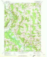
1967 Map of Millers Station
USGS Topo · Published 1972About this map
French Creek and its broad floodplains dominate this late 1960s survey of the borderlands between Erie and Crawford counties. The landscape is characterized by its agricultural character and numerous named road junctions that served as local hubs, including Hinkley Corners, Sturgis Corners, and Glover Corners. The industrial and transportation history of the region is etched into the terrain via the Erie-Lackawanna rail line and an identifiable Old Railroad Grade near Muddy Creek.
Find a feature on this map
53 named features on this map. Tap any name to fly to it.
Don’t see what you’re looking for? This feature index may not catch every label — zoom into the map to look around manually.
Map Details
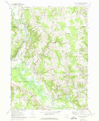
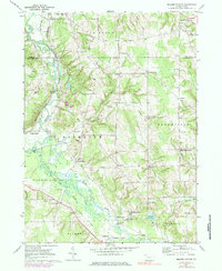
Editions of this 1967 Millers Station Map
3 editions found
Other maps of this area

1923 · Meadville
USGS Topo · 1:62,500

1923 · Cambridge Springs
USGS Topo · 1:62,500

1925 · Meadville
USGS Topo · 1:62,500

1925 · Cambridge Springs
USGS Topo · 1:62,500

1927 · Townville
USGS Topo · 1:48,000

1929 · Union City
USGS Topo · 1:62,500

1932 · Townville
USGS Topo · 1:62,500

1932 · Union City
USGS Topo · 1:62,500

1943 · Meadville
USGS Topo · 1:62,500

1943 · Cambridge Springs
USGS Topo · 1:62,500