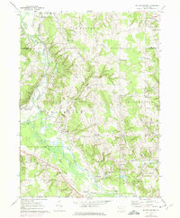
1967 Map of Millers Station
USGS Topo · Published 1975About this map
French Creek winds through this rural landscape on the border of Erie and Crawford counties, anchoring a network of small agricultural and railway settlements. In the late 1960s, the Erie-Lackawanna railroad remained a primary transport corridor, passing directly through Millers Station and near Mill Village. The map reveals a high density of crossroads communities, such as Kings Corners, Sturgis Corners, and Ferris Corners, which served as local focal points for the surrounding farms and woodlots.
Find a feature on this map
46 named features on this map. Tap any name to fly to it.
Don’t see what you’re looking for? This feature index may not catch every label — zoom into the map to look around manually.
Map Details
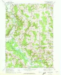
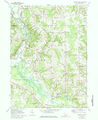
Editions of this 1967 Millers Station Map
3 editions found
Other maps of this area

1923 · Meadville
USGS Topo · 1:62,500

1923 · Cambridge Springs
USGS Topo · 1:62,500

1925 · Meadville
USGS Topo · 1:62,500

1925 · Cambridge Springs
USGS Topo · 1:62,500

1927 · Townville
USGS Topo · 1:48,000

1929 · Union City
USGS Topo · 1:62,500

1932 · Townville
USGS Topo · 1:62,500

1932 · Union City
USGS Topo · 1:62,500

1943 · Meadville
USGS Topo · 1:62,500

1943 · Cambridge Springs
USGS Topo · 1:62,500