
1949 Map of Millstone Lake
USGS Topo · Published 1953About this map
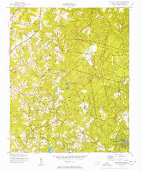
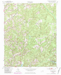
Millstone Lake and the adjacent Camp Millstone form the center of this post-war Richmond County landscape, where the headwaters of numerous creeks converge. The topography is defined by the drainage systems of Mountain Creek and Naked Creek, which move through the townships of Mineral Springs, Beaver Dam, and Rockingham. In the southeast corner, the McKinney Lake Fish Hatchery is shown with its distinct layout of rearing ponds, including Woods Pond No 1 and Woods Pond No 2. This era reveals a rural community supported by a network of timber and small-scale agriculture, with the Norfolk Southern railroad cutting through the northwest corner. Numerous small country churches like Sandy Level Ch and Rourke Ch alongside family burial grounds such as Watson Cem and Gibson Cem anchor the social geography of the district.
Find a feature on this map
37 named features on this map. Tap any name to fly to it.
Don’t see what you’re looking for? This feature index may not catch every label — zoom into the map to look around manually.
Map Details
Editions of this 1949 Millstone Lake Map
Other maps of this area

1942 · Troy
USGS Topo · 1:125,000

1942 · Rockingham
USGS Topo · 1:125,000

1949 · West End
USGS Topo · 1:24,000

1949 · Hoffman
USGS Topo · 1:24,000

1949 · Marston
USGS Topo · 1:24,000

1949 · Hamlet
USGS Topo · 1:24,000

1949 · Hamlet
USGS Topo · 1:62,500

1949 · Jackson Springs
USGS Topo · 1:62,500

1950 · Norman
USGS Topo · 1:24,000

1953 · Florence
USGS Topo · 1:250,000