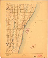
1906 Map of Milwaukee
USGS Topo · Published 1934About this map
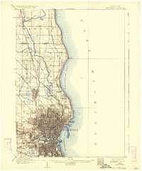
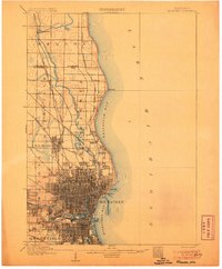
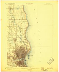
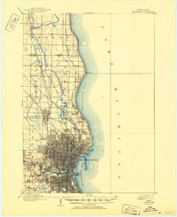
Milwaukee's urban grid expands rapidly along the shores of Lake Michigan in this late 19th-century survey. The city's industrial and residential growth is anchored by the winding Milwaukee River and a dense network of iron rails, including the Chicago and Northwestern R. R. and the C. M. and St. P. R. R. To the north, the landscape transitions into a series of smaller riverside and coastal settlements such as Thiensville, Whitefish Bay, and Fox Point. This edition captures the area before the full suburban consolidation of the 20th century, showing distinct early boundaries for Wauwatosa, Greenfield, and Granville. Notable landmarks include Lake Park near North Point, and several specialized rail stations at Silver Spring, Lindwerm, and Berthelet that once served the region's early commerce and milling interests.
Find a feature on this map
31 named features on this map. Tap any name to fly to it.
Don’t see what you’re looking for? This feature index may not catch every label — zoom into the map to look around manually.
Map Details
Editions of this 1906 Milwaukee Map
4 editions found
Other maps of this area

1891 · Bayview
USGS Topo · 1:62,500

1891 · Muskego
USGS Topo · 1:62,500

1892 · Milwaukee
USGS Topo · 1:62,500

1892 · Waukesha
USGS Topo · 1:62,500
1892 · Port Washington
USGS Topo · 1:62,500

1901 · Milwaukee
USGS Topo · 1:62,500

1901 · Waukesha
USGS Topo · 1:62,500

1901 · Bayview
USGS Topo · 1:62,500

1901 · Muskego
USGS Topo · 1:62,500

1904 · West Bend
USGS Topo · 1:62,500