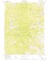
1961 Map of Mineral
USGS Topo · Published 1977About this map
Hope Furnace stands as a significant industrial landmark in the northwestern corner of this Vinton County survey, reflecting the region's iron-producing history. The landscape is defined by the winding course of Raccoon Creek and the deep incisions of Bear Hollow and Wolf Pen Hollow into the surrounding ridges. Along the Baltimore and Ohio railroad line, the small settlement of Moonville and the town of Mineral serve as primary nodes of human activity within the expansive Zaleski State Forest. Genealogists will find several rural burial grounds, including Keeton Cem near the waters of Lake Hope and Judd Cem along Pine Run. The presence of several Strip Mines and a Gravel Pit indicates the ongoing extraction of natural resources that shaped the local economy during the mid-20th century.
Find a feature on this map
59 named features on this map. Tap any name to fly to it.
Don’t see what you’re looking for? This feature index may not catch every label — zoom into the map to look around manually.
Map Details
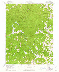
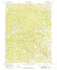
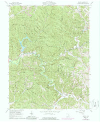
Editions of this 1961 Mineral Map
4 editions found
Other maps of this area

1903 · Athens
USGS Topo · 1:62,500

1904 · Zaleski
USGS Topo · 1:62,500

1905 · Athens
USGS Topo · 1:62,500

1905 · Wilkesville
USGS Topo · 1:62,500

1907 · Pomeroy
USGS Topo · 1:62,500

1907 · Zaleski
USGS Topo · 1:62,500

1908 · Wilkesville
USGS Topo · 1:62,500

1947 · Columbus
USGS Topo · 1:250,000

1960 · Albany
USGS Topo · 1:24,000

1961 · Columbus
USGS Topo · 1:250,000