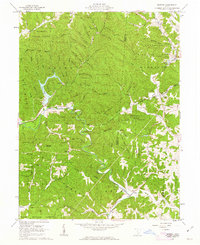
1961 Map of Mineral
USGS Topo · Published 1963About this map
Zaleski State Forest and Waterloo State Forest dominate this pocket of the Vinton County hills in the early 1960s, a landscape defined by sharp ridges and deep hollows. The Baltimore and Ohio railroad follows the winding course of Raccoon Creek and its tributaries, connecting small valley settlements like Moonville and Mineral. This transit corridor reflects the area's industrial legacy, where a Strip Mine near Hope Furnace and various gravel pits suggest the transition from 19th-century iron production to mid-century resource extraction.
Find a feature on this map
52 named features on this map. Tap any name to fly to it.
Don’t see what you’re looking for? This feature index may not catch every label — zoom into the map to look around manually.
Map Details
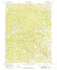
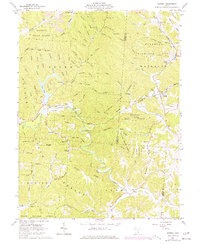
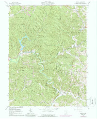
Editions of this 1961 Mineral Map
4 editions found
Other maps of this area

1903 · Athens
USGS Topo · 1:62,500

1904 · Zaleski
USGS Topo · 1:62,500

1905 · Athens
USGS Topo · 1:62,500

1905 · Wilkesville
USGS Topo · 1:62,500

1907 · Pomeroy
USGS Topo · 1:62,500

1907 · Zaleski
USGS Topo · 1:62,500

1908 · Wilkesville
USGS Topo · 1:62,500

1947 · Columbus
USGS Topo · 1:250,000

1960 · Albany
USGS Topo · 1:24,000

1961 · Columbus
USGS Topo · 1:250,000