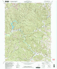
1992 Map of Mineral
USGS Topo · Published 1995About this map
Hope Furnace stands as a significant industrial landmark within the wooded valleys of Lake Hope State Park, reflecting the iron production history of the Hanging Rock region. This terrain is defined by the winding course of Raccoon Creek and its many tributaries, including Sandy Run and Hewett Fork. The small settlement of Mineral sits at a junction of rail and water, served by the Chesapeake and Ohio railroad which follows the creek beds through the ridges. Extensive public lands, including the Zaleski State Forest and Waterloo Wildlife Area, dominate the landscape, preserving numerous family-named hollows and ridges such as Starrett Ridge and Keeton Hollow. Genealogists will find several rural burial grounds and houses of worship, from Hope Chapel to the Madison Ch Cem, which document the dispersed community life of Vinton and Athens counties in the late twentieth century.
Find a feature on this map
85 named features on this map. Tap any name to fly to it.
Don’t see what you’re looking for? This feature index may not catch every label — zoom into the map to look around manually.
Map Details
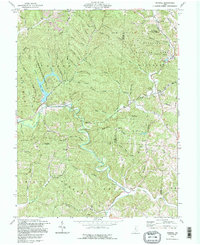
Editions of this 1992 Mineral Map
2 editions found
Other maps of this area

1903 · Athens
USGS Topo · 1:62,500

1904 · Zaleski
USGS Topo · 1:62,500

1905 · Athens
USGS Topo · 1:62,500

1905 · Wilkesville
USGS Topo · 1:62,500

1907 · Pomeroy
USGS Topo · 1:62,500

1907 · Zaleski
USGS Topo · 1:62,500

1908 · Wilkesville
USGS Topo · 1:62,500

1947 · Columbus
USGS Topo · 1:250,000

1960 · Albany
USGS Topo · 1:24,000

1961 · Columbus
USGS Topo · 1:250,000