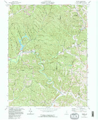
1992 Map of Mineral
USGS Topo · Published 1995About this map
Moonville and the settlement of Mineral anchor this landscape along the winding course of Raccoon Creek. The topography is defined by the steep-sided valleys of Zaleski State Forest and the recreational waters of Lake Hope, where the Lake Hope State Park preserves the natural character of the Vinton County hills. The map highlights a network of ridge-top roads and creek-side settlements connected by the timber and mineral wealth of the region, evidenced by the presence of a Strip Mine and Gravel Pit.
Find a feature on this map
52 named features on this map. Tap any name to fly to it.
Don’t see what you’re looking for? This feature index may not catch every label — zoom into the map to look around manually.
Map Details
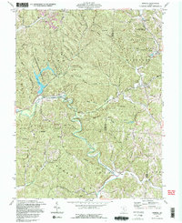
Editions of this 1992 Mineral Map
2 editions found
Other maps of this area

1903 · Athens
USGS Topo · 1:62,500

1904 · Zaleski
USGS Topo · 1:62,500

1905 · Athens
USGS Topo · 1:62,500

1905 · Wilkesville
USGS Topo · 1:62,500

1907 · Pomeroy
USGS Topo · 1:62,500

1907 · Zaleski
USGS Topo · 1:62,500

1908 · Wilkesville
USGS Topo · 1:62,500

1947 · Columbus
USGS Topo · 1:250,000

1960 · Albany
USGS Topo · 1:24,000

1961 · Columbus
USGS Topo · 1:250,000