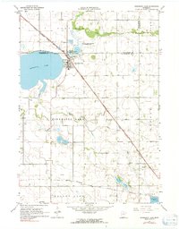
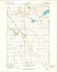
1967 Map of Minnesota Lake
USGS Topo · Published 1991About this map
The town of Minnesota Lake sits at the intersection of water and rail in this mid-1960s landscape, positioned where the Chicago Milwaukee St Paul and Pacific railroad bypasses the eastern shore of its namesake water body. This transition between Faribault and Blue Earth counties reveals a tightly knit agricultural community anchored by numerous local landmarks. Genealogists will find several burial grounds mapped in detail, including Oak Grove Cem, St John Cem, Peace Cem, and Zions Cem further south.
Find a feature on this map
25 named features on this map. Tap any name to fly to it.
Don’t see what you’re looking for? This feature index may not catch every label — zoom into the map to look around manually.
Map Details
Editions of this 1967 Minnesota Lake Map
2 editions found
Other maps of this area

1954 · Mason City
USGS Topo · 1:250,000
1955 · Bricelyn
USGS Topo · 1:62,500
1955 · Wells
USGS Topo · 1:62,500

1957 · Mason City
USGS Topo · 1:250,000

1958 · Mason City
USGS Topo · 1:250,000
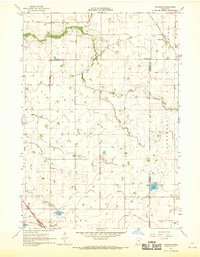
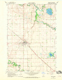
1967 · Minnesota Lake
USGS Topo · 1:24,000
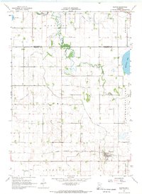
1967 · Waldorf
USGS Topo · 1:24,000
1967 · Matawan
USGS Topo · 1:24,000
1967 · Mapleton
USGS Topo · 1:24,000
1967 · Easton
USGS Topo · 1:24,000