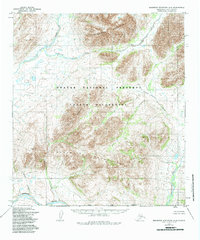
1955 Map of Misheguk Mountain A-4
USGS Topo · Published 1984About this map
Noatak National Preserve defines this landscape in the northern Brooks Range, documented during the mid-1950s. The terrain is dominated by the high peaks of Misheguk Mountain to the north and the Puktovik Mountains further south, separated by the massive expanse of the Noatak Wilderness. A lone Trail follows the northern valley of Okotak Creek, hinting at traditional travel routes across the divide in a region otherwise defined by its river systems.
Find a feature on this map
11 named features on this map. Tap any name to fly to it.
Don’t see what you’re looking for? This feature index may not catch every label — zoom into the map to look around manually.
Map Details
Editions of this 1955 Misheguk Mountain A-4 Map
2 editions found
Other maps of this area

1951 · Baird Mountains
USGS Topo · 1:250,000

1951 · Misheguk Mountain
USGS Topo · 1:250,000

1955 · Baird Mountains D-4
USGS Topo · 1:63,360

1955 · Baird Mountains D-5
USGS Topo · 1:63,360

1955 · Misheguk Mountain A-3
USGS Topo · 1:63,360

1955 · Misheguk Mountain A-5
USGS Topo · 1:63,360
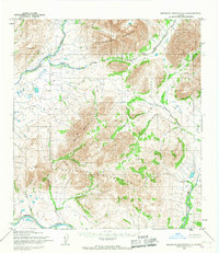
1955 · Misheguk Mountain A-4
USGS Topo · 1:63,360

1956 · Misheguk Mountain
USGS Topo · 1:250,000

1956 · Baird Mountains
USGS Topo · 1:250,000

1965 · Baird Mountains
USGS Topo · 1:250,000