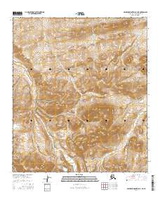
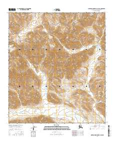
2016 Map of Misheguk Mountain C-3 NE
USGS Topo · Published 2016About this map
Thunder Mtn anchors the center of this terrain in the North Slope Borough, where the headwaters of several drainages begin their descent through the Arctic landscape. The survey details a complex hydrologic network, including Thunder Cr in the north and the upper reaches of Driftwood Cr to the south. In the eastern portion of the quadrangle, Storm Cr flows through a series of valleys, illustrating the natural drainage patterns that define this high-latitude environment. This 2016 data captures the territory as it existed in the early twenty-first century, recorded by the U.S. Geological Survey for the National Geospatial Program. The map provides a precise look at the land's elevation and water features within the established Public Land Survey System township and range boundaries.
Find a feature on this map
9 named features on this map. Tap any name to fly to it.
Don’t see what you’re looking for? This feature index may not catch every label — zoom into the map to look around manually.
Map Details
Editions of this 2016 Misheguk Mountain C-3 NE Map
This is the sole edition of this map. No revisions or reprints were ever made.
Other maps of this area

1951 · Misheguk Mountain
USGS Topo · 1:250,000

1956 · Misheguk Mountain
USGS Topo · 1:250,000
1984 · Misheguk Mountain C-2
USGS Topo · 1:63,360
1984 · Misheguk Mountain C-3
USGS Topo · 1:63,360
1984 · Misheguk Mountain D-3
USGS Topo · 1:63,360
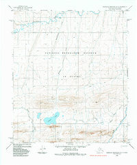
1984 · Misheguk Mountain D-2
USGS Topo · 1:63,360
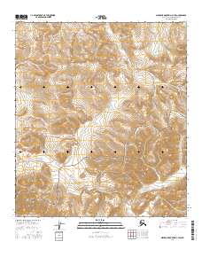
2016 · Misheguk Mountain C-3 SW
USGS Topo · 1:25,000
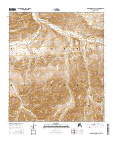
2016 · Misheguk Mountain C-3 NW
USGS Topo · 1:25,000
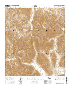
2016 · Misheguk Mountain C-3 SE
USGS Topo · 1:25,000
2016 · Misheguk Mountain C-2 SW
USGS Topo · 1:25,000