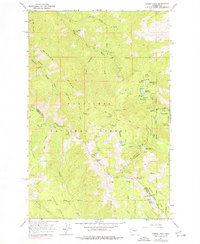
1966 Map of Mission Peak
USGS Topo · Published 1977About this map
Mission Peak dominates this high-altitude landscape along the border of Chelan and Kittitas counties, illustrating a region defined by recreational development and high-country water management in the late 1960s. The eastern slopes are notable for the Mission Ridge Winter Sports Area, showing early ski lifts and parking infrastructure near Squilchuck State Park. In the more remote southern reaches, the presence of the Dutch Settlement provides a tangible link to earlier homesteading efforts in the Naneum Basin.
Find a feature on this map
73 named features on this map. Tap any name to fly to it.
Don’t see what you’re looking for? This feature index may not catch every label — zoom into the map to look around manually.
Map Details
Editions of this 1966 Mission Peak Map
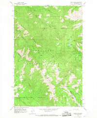
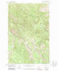
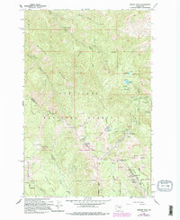
4 editions found
Other maps of this area

1897 · Mount Stuart
USGS Topo · 1:125,000

1902 · Mount Stuart
USGS Topo · 1:125,000

1913 · Wenatchee
USGS Topo · 1:62,500

1915 · Wenatchee
USGS Topo · 1:62,500

1920 · Colockum Pass
USGS Topo · 1:125,000

1922 · Colockum Pass
USGS Topo · 1:125,000

1957 · Wenatchee
USGS Topo · 1:250,000

1958 · Thorp
USGS Topo · 1:62,500

1961 · Liberty
USGS Topo · 1:62,500

1966 · Wenatchee
USGS Topo · 1:24,000