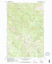
1966 Map of Mission Peak
USGS Topo · Published 1995About this map
The high ridgelines of Mission Ridge and Wenatchee Mtn dominate this 1960s landscape, illustrating the intersection of state wildlife management and public recreation. Revisions from the mid-1980s document the expansion of the Mission Ridge Winter Sports Area and infrastructure like a Radio Facility and Lookout Tower near Naneum Pt.
Find a feature on this map
38 named features on this map. Tap any name to fly to it.
Don’t see what you’re looking for? This feature index may not catch every label — zoom into the map to look around manually.
Map Details
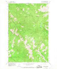
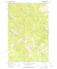
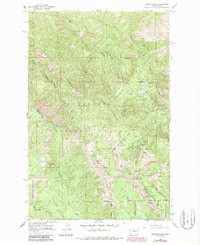
Editions of this 1966 Mission Peak Map
4 editions found
Other maps of this area

1897 · Mount Stuart
USGS Topo · 1:125,000

1902 · Mount Stuart
USGS Topo · 1:125,000

1913 · Wenatchee
USGS Topo · 1:62,500

1915 · Wenatchee
USGS Topo · 1:62,500

1920 · Colockum Pass
USGS Topo · 1:125,000

1922 · Colockum Pass
USGS Topo · 1:125,000

1957 · Wenatchee
USGS Topo · 1:250,000

1958 · Thorp
USGS Topo · 1:62,500

1961 · Liberty
USGS Topo · 1:62,500

1966 · Wenatchee
USGS Topo · 1:24,000