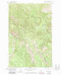
1966 Map of Mission Peak
USGS Topo · Published 1987About this map
The high ridges and basins of the Wenatchee National Forest dominate this 1966 topographic survey, photorevised in the late 1980s. The terrain is marked by significant elevation changes, from the heights of Mission Peak and Wenatchee Mtn down into the Naneum Basin. Near the southern boundary, the Dutch Settlement appears alongside Naneum Creek, while the eastern slopes highlight the Mission Ridge Winter Sports Area and the Squilchuck State Park. These labels reveal a landscape transitioning between remote wildlife conservation in the Colockum State Wildlife Area and organized recreation. Water sources are critical features of this high country, including Beehive Reservoir, Clara Lake, and numerous named springs like Beehive Spr and Windy Spring. Transportation across the ridges is represented by the Squilchuck Trail and Mission Ridge Road, which provided essential access for forest management and mountain recreation during this era.
Find a feature on this map
34 named features on this map. Tap any name to fly to it.
Don’t see what you’re looking for? This feature index may not catch every label — zoom into the map to look around manually.
Map Details
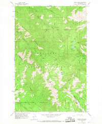
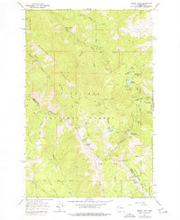
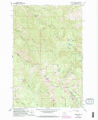
Editions of this 1966 Mission Peak Map
4 editions found
Other maps of this area

1897 · Mount Stuart
USGS Topo · 1:125,000

1902 · Mount Stuart
USGS Topo · 1:125,000

1913 · Wenatchee
USGS Topo · 1:62,500

1915 · Wenatchee
USGS Topo · 1:62,500

1920 · Colockum Pass
USGS Topo · 1:125,000

1922 · Colockum Pass
USGS Topo · 1:125,000

1957 · Wenatchee
USGS Topo · 1:250,000

1958 · Thorp
USGS Topo · 1:62,500

1961 · Liberty
USGS Topo · 1:62,500

1966 · Wenatchee
USGS Topo · 1:24,000