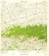
1964 Map of Moca
USGS Topo · Published 1967About this map
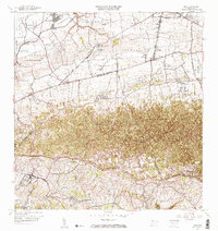
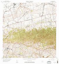
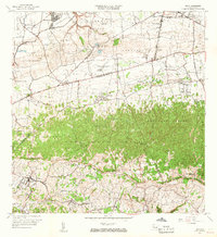
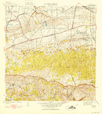
The Cordillera Jaicoa dominates the central landscape of this 1964 survey, where the steep terrain of Monte Encantado and Monte Mariquilla separates the northern coastal plains from the southern river valleys. This transition is marked by a complex network of water management and power generation, including the Canal Principal and a series of hydroelectric plants like Central Hidroeléctrica No 1. The settlement pattern follows the lower elevations, with the municipal seat of Moca situated near the Río Culebrinas, while smaller communities such as Aceitunas and Mantilla are scattered across the foothills.
Find a feature on this map
76 named features on this map. Tap any name to fly to it.
Don’t see what you’re looking for? This feature index may not catch every label — zoom into the map to look around manually.
Map Details
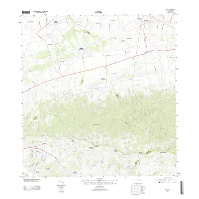
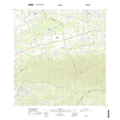
Editions of this 1964 Moca Map
3 editions found
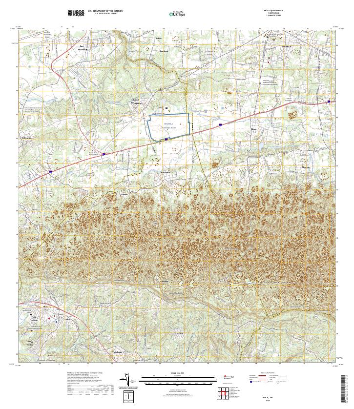
Historical Maps of Moca Through Time
8 maps found


Featured Locations
- Reparto Méndez, Isabela
- Sector Los Laureles, Aguadilla
- Reparto Santa María, Aguadilla
- Sector Nieves, Moca
- Moca, Moca