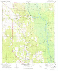
1978 Map of Molino
USGS Topo · Published 1978About this map
Molino sits at the heart of this late-1970s landscape, positioned near the intersection of the Louisville and Nashville railroad and the sprawling wetlands of the Escambia River. The map highlights a community deeply connected to the river and rail, with distinct settlements like Quintette, Cottage Hill, and Briekton punctuating the western uplands. The terrain is defined by a heavy reliance on the land, evidenced by numerous claypits and the presence of localized spiritual and educational centers such as Highland Ch, New Hope Ch, and St Matthews Ch. East of the settlements, the river basin transforms into a complex maze of backwaters, including The Basin, Goggleeye Lake, and Quintette Lake. Large river islands like Parker Island and Brosnaham Island dominate the eastern half, while small river access points like Webb Landing and Proctors Landing suggest a persistent fishing and boating culture along the county line.
Find a feature on this map
60 named features on this map. Tap any name to fly to it.
Don’t see what you’re looking for? This feature index may not catch every label — zoom into the map to look around manually.
Map Details
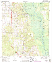
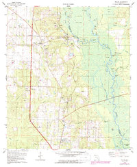
Editions of this 1978 Molino Map
3 editions found
Other maps of this area

1920 · Milton
USGS Topo · 1:62,500

1921 · Muscogee
USGS Topo · 1:62,500

1941 · Muscogee
USGS Topo · 1:62,500

1941 · Milton
USGS Topo · 1:62,500

1941 · Century
USGS Topo · 1:62,500

1943 · Muscogee
USGS Topo · 1:62,500

1943 · Century
USGS Topo · 1:62,500

1943 · Milton
USGS Topo · 1:62,500

1943 · Jay
USGS Topo · 1:62,500
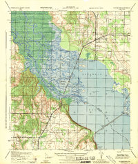
1944 · Floridatown
USGS Topo · 1:25,000