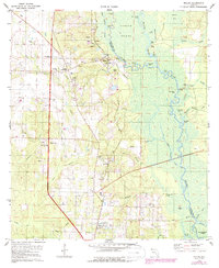
1978 Map of Molino
USGS Topo · Published 1987About this map
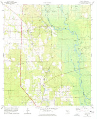
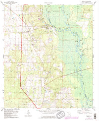
The Escambia River floodplain dominates this late-twentieth-century landscape, carving a wide, island-filled corridor that separates Escambia County from Santa Rosa County. The river's intricate system of oxbows and backwaters includes Halfmoon Lake, Goggleye Lake, and Beaverdam Lake, reflecting a dynamic hydrologic environment where river landings like Webb Landing and Proctors Landing once linked the hinterlands to waterborne trade. Along the elevated western bluffs, settlements like Molino and Cottage Hill thrived near the CSX railroad corridor, supported by local industry evidenced by numerous Claypit sites.
Find a feature on this map
60 named features on this map. Tap any name to fly to it.
Don’t see what you’re looking for? This feature index may not catch every label — zoom into the map to look around manually.
Map Details
Editions of this 1978 Molino Map
3 editions found
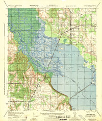
Other maps of this area

1920 · Milton
USGS Topo · 1:62,500

1921 · Muscogee
USGS Topo · 1:62,500

1941 · Muscogee
USGS Topo · 1:62,500

1941 · Milton
USGS Topo · 1:62,500

1941 · Century
USGS Topo · 1:62,500

1943 · Muscogee
USGS Topo · 1:62,500

1943 · Century
USGS Topo · 1:62,500

1943 · Milton
USGS Topo · 1:62,500

1943 · Jay
USGS Topo · 1:62,500
1944 · Floridatown
USGS Topo · 1:25,000