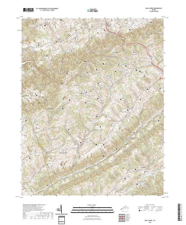
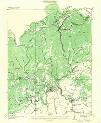
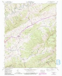
2022 Map of Moll Creek
USGS Topo · Published 2022About this map
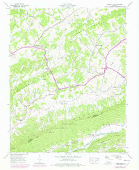
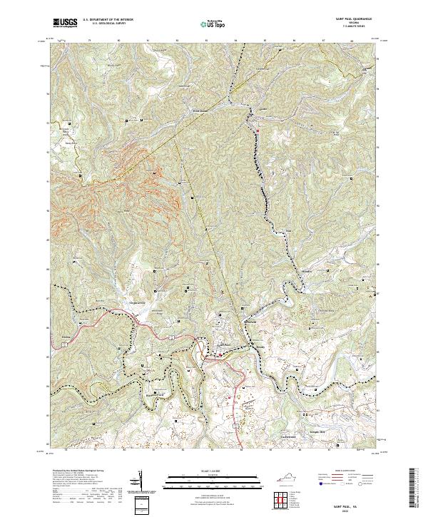
Copper Ridge and Moccasin Ridge dominate the landscape of Russell and Scott Counties, defining a region of steep hollows and narrow valleys. This area of Southwest Virginia is characterized by a dense network of family cemeteries, including the Sebras Chapel Cem, Artrip Cem, and Vanderpool Cem, which speak to generations of local settlement. Small communities like Mew, Banners Corner, and Tumbez are scattered along the winding roads that follow the contours of the land, such as the Trl of the Lonesome Pine.
Find a feature on this map
137 named features on this map. Tap any name to fly to it.
Don’t see what you’re looking for? This feature index may not catch every label — zoom into the map to look around manually.
Map Details
Editions of this 2022 Moll Creek Map
This is the sole edition of this map. No revisions or reprints were ever made.
Historical Maps of Tumbez Through Time
17 maps found
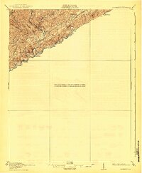
1918 Carterton
Russell County, VA
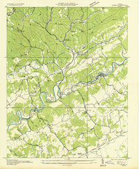
1934 Carbo
Russell County, VA
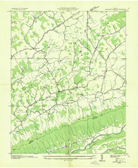
1934 Hansonville
Russell County, VA
1935 Elk Garden
Russell County, VA
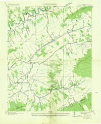
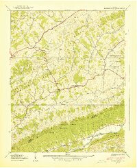
1935 Moll Creek
Russell County, VA
1935 St Paul
Russell County, VA
1938 Hansonville
Russell County, VA
1939 Hansonville
Russell County, VA
1958 Carbo
Russell County, VA
1958 Elk Garden
Russell County, VA
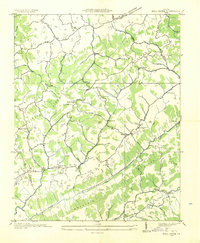
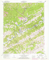
1958 Moll Creek
Russell County, VA
1958 St Paul
Russell County, VA
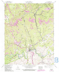
2022 Carbo
Russell County, VA
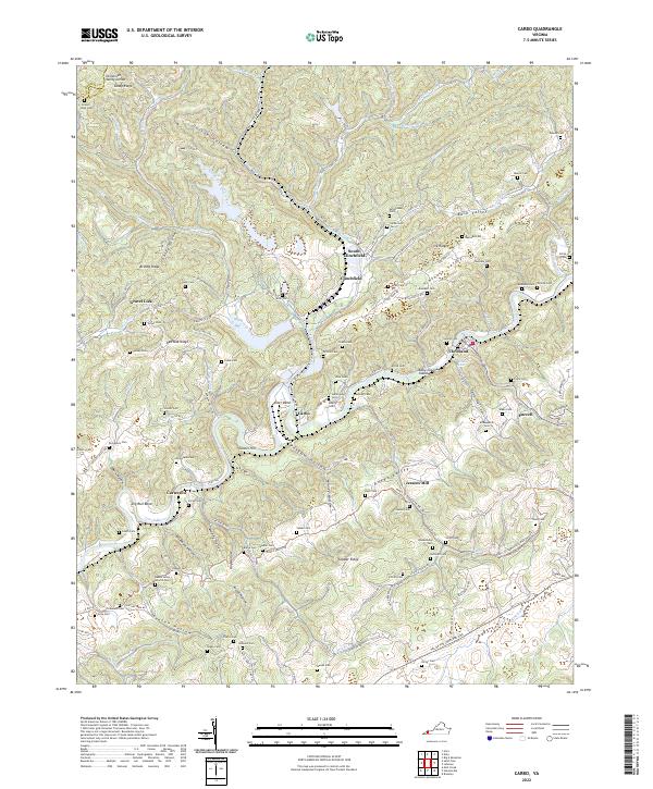
2022 Elk Garden
Russell County, VA
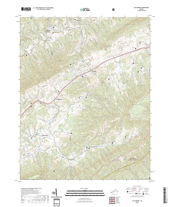
2022 Hansonville
Russell County, VA
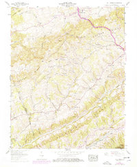
2022 Moll Creek
Russell County, VA
2022 Saint Paul
Russell County, VA