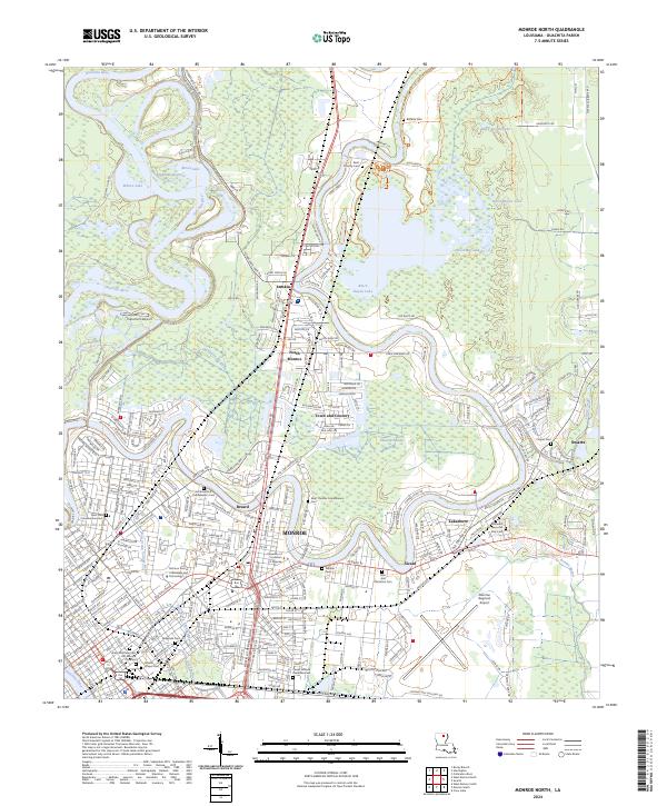
2024 Map of Monroe North
USGS Topo · Published 2024About this map
The Ouachita River winds along the western edge of this 2024 survey, defining the landscape of Monroe and its northern suburbs. The urban core, featuring the University of Louisiana at Monroe, is characterized by a dense grid of cemeteries and collegiate grounds, while the eastern portion is dominated by the Black Bayou Lake National Wildlife Refuge. This protected wetland area, containing Black Bayou Lake, contrasts with the industrial and residential corridors of Breard and Sicard.
Find a feature on this map
296 named features on this map. Tap any name to fly to it.
Don’t see what you’re looking for? This feature index may not catch every label — zoom into the map to look around manually.
Map Details
Editions of this 2024 Monroe North Map
This is the sole edition of this map. No revisions or reprints were ever made.
Other maps of this area

1935 · Collinston
USGS Topo · 1:62,500

1935 · Alto
USGS Topo · 1:62,500

1935 · Drew
USGS Topo · 1:62,500

1940 · Monroe
USGS Topo · 1:62,500

1955 · Jackson
USGS Topo · 1:250,000

1955 · Shreveport
USGS Topo · 1:250,000

1956 · Shreveport
USGS Topo · 1:250,000

1957 · Monroe North
USGS Topo · 1:62,500

1957 · West Monroe North
USGS Topo · 1:24,000

1957 · Mangham
USGS Topo · 1:62,500