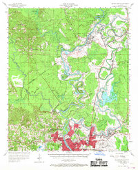
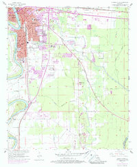
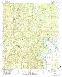
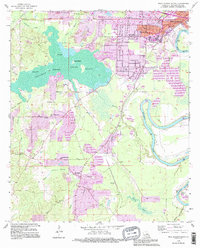
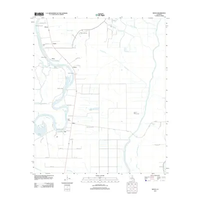
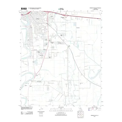
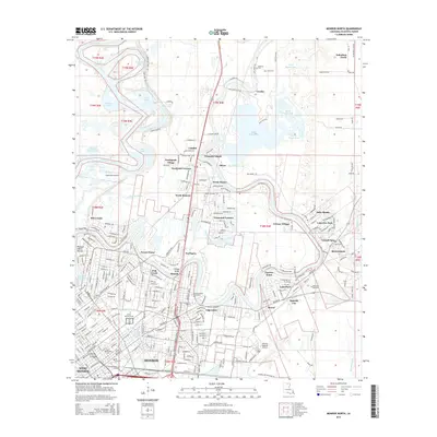
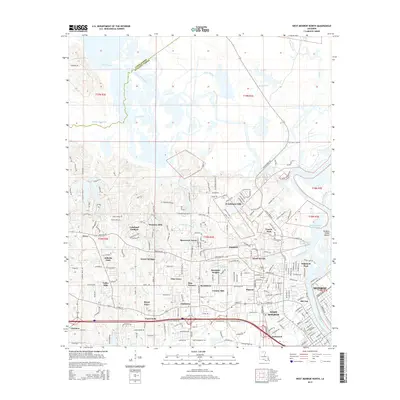
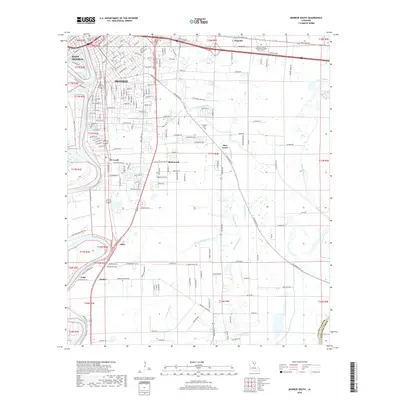
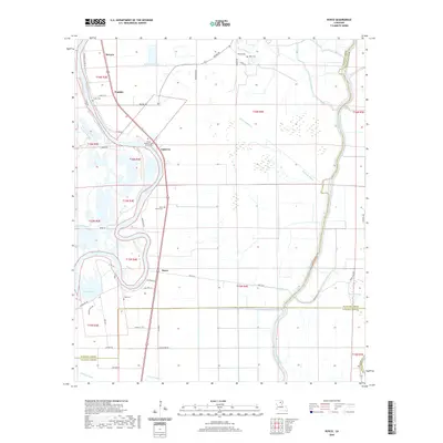
1957 Map of Monroe North
USGS Topo · Published 1967About this map
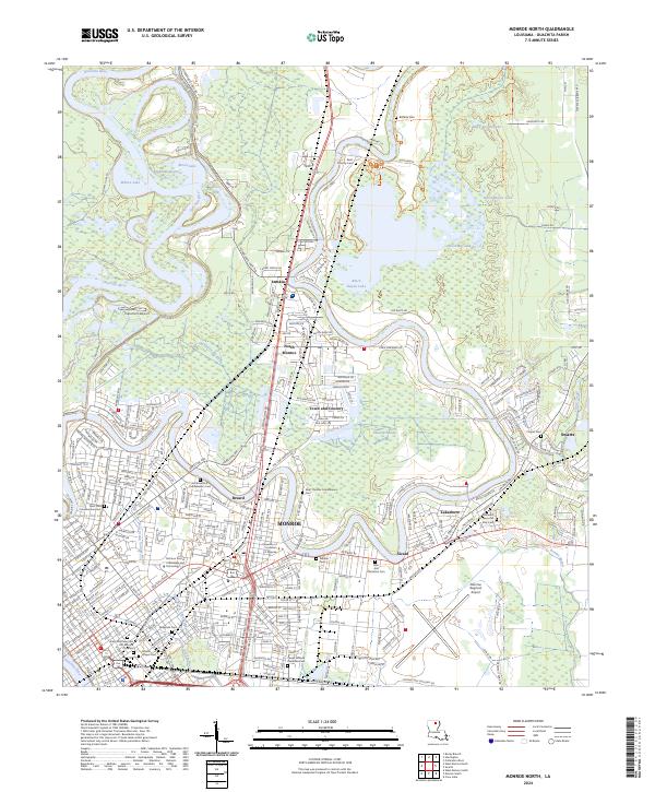
The Ouachita River meanders through the heart of this North Louisiana landscape, defining the boundaries and development of West Monroe and Monroe during the late 1950s. The urban core is detailed with institutional landmarks such as NE Louisiana State College and the Sanitarium, while the industrial and transportation footprint is marked by the Missouri Pacific and the Selman Airport. Beyond the city limits, the terrain transitions into a complex network of bayous and lakes, including the expansive Black Bayou Lake and the winding Chauvin Bayou.
Find a feature on this map
102 named features on this map. Tap any name to fly to it.
Don’t see what you’re looking for? This feature index may not catch every label — zoom into the map to look around manually.
Map Details
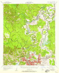
Editions of this 1957 Monroe North Map
2 editions found
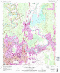
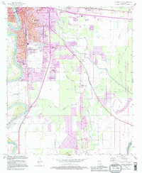
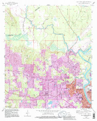
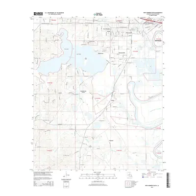
Historical Maps of Monroe Through Time
53 maps found

1935 Drew
Ouachita Parish, LA
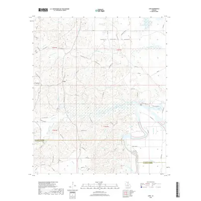
1957 Monroe North
Ouachita Parish, LA
1957 Monroe North
Ouachita Parish, LA
1957 Monroe South
Ouachita Parish, LA
1957 Monroe South
Ouachita Parish, LA

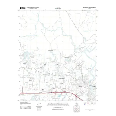
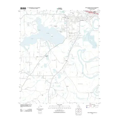
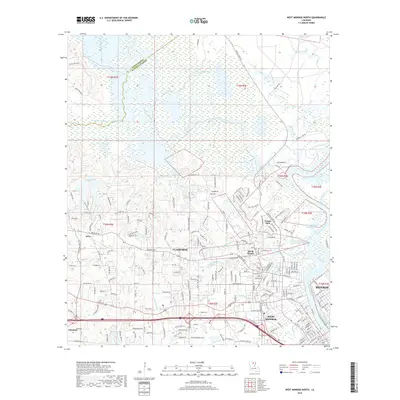
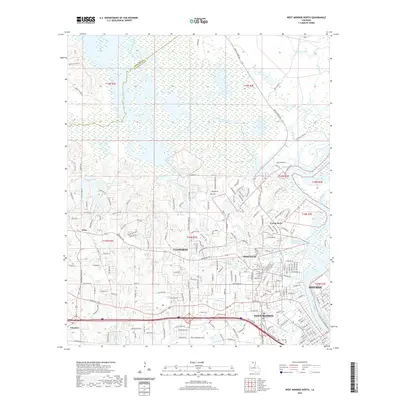
1957 West Monroe North
Ouachita Parish, LA
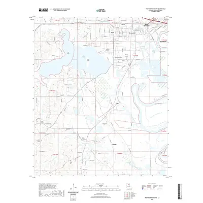
1957 West Monroe South
Ouachita Parish, LA

1969 Monroe North
Ouachita Parish, LA
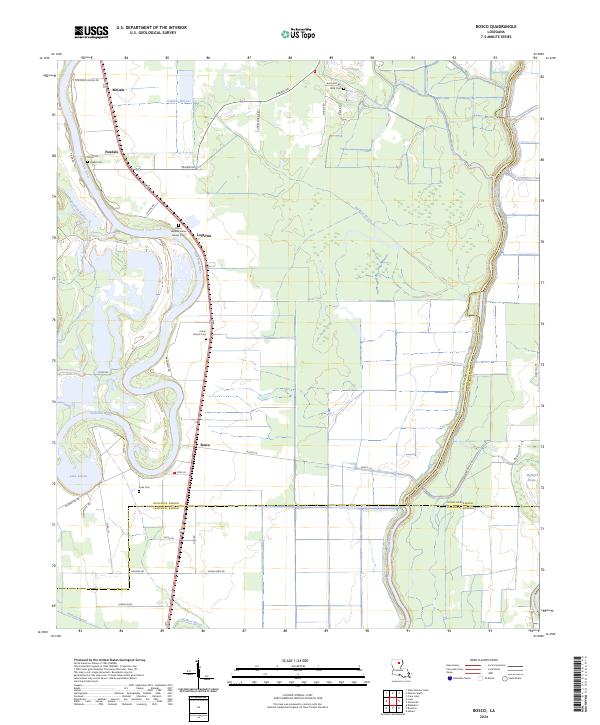
1982 Bosco
Ouachita Parish, LA
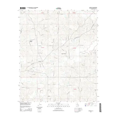
1982 Cadeville
Ouachita Parish, LA
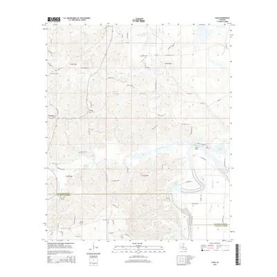
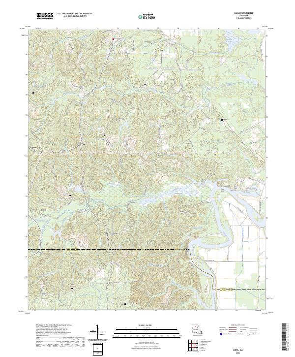
1982 Luna
Ouachita Parish, LA
1994 Monroe North
Ouachita Parish, LA
1994 Monroe South
Ouachita Parish, LA
1994 West Monroe North
Ouachita Parish, LA
1994 West Monroe South
Ouachita Parish, LA
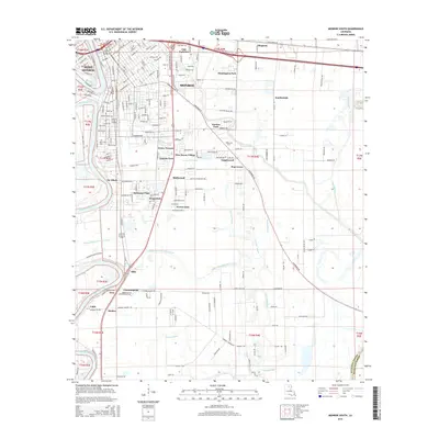
1999 Monroe North
Ouachita Parish, LA
1999 Monroe South
Ouachita Parish, LA
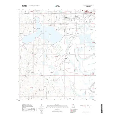
1999 West Monroe North
Ouachita Parish, LA
2012 Bosco
Ouachita Parish, LA
2012 Cadeville
Ouachita Parish, LA
2012 Luna
Ouachita Parish, LA
2012 Monroe North
Ouachita Parish, LA
2012 Monroe South
Ouachita Parish, LA
2012 West Monroe North
Ouachita Parish, LA
2012 West Monroe South
Ouachita Parish, LA
2015 Bosco
Ouachita Parish, LA
2015 Cadeville
Ouachita Parish, LA
2015 Luna
Ouachita Parish, LA
2015 Monroe North
Ouachita Parish, LA
2015 Monroe South
Ouachita Parish, LA
2015 West Monroe North
Ouachita Parish, LA
2015 West Monroe South
Ouachita Parish, LA
2018 Bosco
Ouachita Parish, LA
2018 Cadeville
Ouachita Parish, LA
2018 Luna
Ouachita Parish, LA

2018 Monroe North
Ouachita Parish, LA
2018 Monroe South
Ouachita Parish, LA
2018 West Monroe North
Ouachita Parish, LA
2018 West Monroe South
Ouachita Parish, LA
2020 Bosco
Ouachita Parish, LA
2020 Cadeville
Ouachita Parish, LA

2020 Luna
Ouachita Parish, LA
2020 Monroe North
Ouachita Parish, LA
2020 Monroe South
Ouachita Parish, LA
2020 West Monroe North
Ouachita Parish, LA
2020 West Monroe South
Ouachita Parish, LA
2024 Bosco
Ouachita Parish, LA

2024 Cadeville
Ouachita Parish, LA
2024 Luna
Ouachita Parish, LA
2024 Monroe North
Ouachita Parish, LA
2024 Monroe South
Ouachita Parish, LA
2024 West Monroe North
Ouachita Parish, LA
2024 West Monroe South
Ouachita Parish, LA