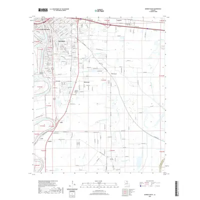
2020 Map of Monroe South
USGS Topo · Published 2020About this map
The Ouachita River serves as the primary artery for this region of Louisiana, dividing the urban centers of West Monroe and Monroe. The landscape south of these cities transitions from dense street grids to a complex network of waterways, including the Pine Bayou Canal, Raccoon Bayou, and Youngs Bayou. This area is characterized by several smaller settlements and pockets of development such as Richwood, Rilla, and De Loach, which are knit together by local roads like Buckhorn Bend Rd.
Find a feature on this map
191 named features on this map. Tap any name to fly to it.
Don’t see what you’re looking for? This feature index may not catch every label — zoom into the map to look around manually.
Map Details
Editions of this 2020 Monroe South Map
This is the sole edition of this map. No revisions or reprints were ever made.
Other maps of this area

1935 · Collinston
USGS Topo · 1:62,500

1935 · Alto
USGS Topo · 1:62,500

1935 · Drew
USGS Topo · 1:62,500

1940 · Monroe
USGS Topo · 1:62,500

1955 · Jackson
USGS Topo · 1:250,000

1955 · Shreveport
USGS Topo · 1:250,000

1956 · Shreveport
USGS Topo · 1:250,000

1957 · Monroe North
USGS Topo · 1:62,500

1957 · West Monroe North
USGS Topo · 1:24,000

1957 · Mangham
USGS Topo · 1:62,500