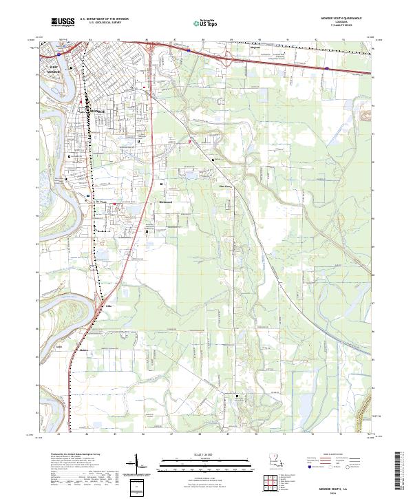
2024 Map of Monroe South
USGS Topo · Published 2024About this map
The Ouachita River defines the western corridor of this Ouachita Parish landscape, serving as the historical and geographic anchor for the twin cities of Monroe and West Monroe. Near the river's bend, the Ouachita Parish Courthouse stands as a civic landmark, while the surrounding neighborhoods are marked by deep genealogical roots in sites like Bry Cem and Riverview Cem. To the south, the settlement of Richwood and the academic grounds of the Louisiana Delta Community College Main Campus reflect the region's modern growth and educational infrastructure.
Find a feature on this map
208 named features on this map. Tap any name to fly to it.
Don’t see what you’re looking for? This feature index may not catch every label — zoom into the map to look around manually.
Map Details
Editions of this 2024 Monroe South Map
This is the sole edition of this map. No revisions or reprints were ever made.
Other maps of this area

1935 · Collinston
USGS Topo · 1:62,500

1935 · Alto
USGS Topo · 1:62,500

1935 · Drew
USGS Topo · 1:62,500

1940 · Monroe
USGS Topo · 1:62,500

1955 · Jackson
USGS Topo · 1:250,000

1955 · Shreveport
USGS Topo · 1:250,000

1956 · Shreveport
USGS Topo · 1:250,000

1957 · Monroe North
USGS Topo · 1:62,500

1957 · West Monroe North
USGS Topo · 1:24,000

1957 · Mangham
USGS Topo · 1:62,500