
1957 Map of Monroe South
USGS Topo · Published 1958About this map
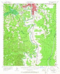
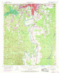
The Ouachita River meanders deeply through this 1957 landscape, defining the boundaries and economic life of southern Monroe. In the north, the urban expansion of West Monroe and the Monroe City Boundary transitions into a complex system of sloughs and brakes, including the expansive Cheniere Brake and Alligator Brake. The presence of the Louisiana Training Institute and Conway Hospital marks the institutional footprint of the era, while the Missouri Pacific and Illinois Central railroads trace the movement of goods and people through the bottomlands. Small rural communities and rural educational centers like Logtown School and Watson School are scattered across the terrain, often located near local water features like Jack's Slough or Petiticoat Bayou. The map captures a moment before modern channelization, showing the intricate natural drainage of Lafourche Bayou and numerous named family cemeteries that document the area's genealogical history.
Find a feature on this map
100 named features on this map. Tap any name to fly to it.
Don’t see what you’re looking for? This feature index may not catch every label — zoom into the map to look around manually.
Map Details
Editions of this 1957 Monroe South Map
3 editions found
Other maps of this area

1935 · Collinston
USGS Topo · 1:62,500

1935 · Alto
USGS Topo · 1:62,500

1935 · Drew
USGS Topo · 1:62,500

1939 · Fort Necessity
USGS Topo · 1:62,500

1940 · Monroe
USGS Topo · 1:62,500

1940 · Columbia
USGS Topo · 1:62,500

1952 · Calhoun
USGS Topo · 1:62,500

1953 · Chatham
USGS Topo · 1:62,500

1954 · Sikes
USGS Topo · 1:62,500

1955 · Jackson
USGS Topo · 1:250,000