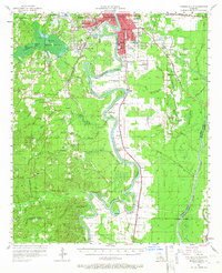
1957 Map of Monroe South
USGS Topo · Published 1966About this map
The Ouachita River meanders through this landscape, defining the boundaries and economic life of the region south of West Monroe and Monroe. The river's serpentine path is flanked by an extensive network of levees and diverse swampy basins, including the expansive Cheniere Brake to the west and the Lafourche Swamp to the east. These wetlands are interspersed with distinct geographic features like Pine Island and Coon Island, while smaller water bodies like Pucketts Lake and Lake Lafitta dot the lowlands. The settlement pattern follows the high ground and the path of the Missouri Pacific railroad, which runs parallel to the river through the communities of Logtown and Bosco.
Find a feature on this map
91 named features on this map. Tap any name to fly to it.
Don’t see what you’re looking for? This feature index may not catch every label — zoom into the map to look around manually.
Map Details
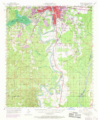
Editions of this 1957 Monroe South Map
3 editions found

Other maps of this area

1935 · Collinston
USGS Topo · 1:62,500

1935 · Alto
USGS Topo · 1:62,500

1935 · Drew
USGS Topo · 1:62,500

1939 · Fort Necessity
USGS Topo · 1:62,500

1940 · Monroe
USGS Topo · 1:62,500

1940 · Columbia
USGS Topo · 1:62,500

1952 · Calhoun
USGS Topo · 1:62,500

1953 · Chatham
USGS Topo · 1:62,500

1954 · Sikes
USGS Topo · 1:62,500

1955 · Jackson
USGS Topo · 1:250,000