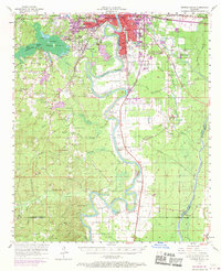
1957 Map of Monroe South
USGS Topo · Published 1970About this map
The meandering Ouachita River dictates the landscape south of the urban centers of Monroe and West Monroe, where the river's loops create a complex environment of brakes and sloughs. This 1957 survey, with revisions into the late 1960s, documents the expansion of Bawcomville and the industrial corridors served by the Illinois Central Railroad. The rural reaches of Ouachita Parish are dotted with small educational and spiritual centers such as Union School, Terzia High School, and Fellowship Church.
Find a feature on this map
94 named features on this map. Tap any name to fly to it.
Don’t see what you’re looking for? This feature index may not catch every label — zoom into the map to look around manually.
Map Details
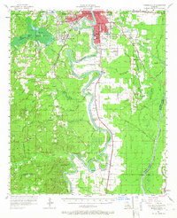
Editions of this 1957 Monroe South Map
3 editions found

Other maps of this area

1935 · Collinston
USGS Topo · 1:62,500

1935 · Alto
USGS Topo · 1:62,500

1935 · Drew
USGS Topo · 1:62,500

1939 · Fort Necessity
USGS Topo · 1:62,500

1940 · Monroe
USGS Topo · 1:62,500

1940 · Columbia
USGS Topo · 1:62,500

1952 · Calhoun
USGS Topo · 1:62,500

1953 · Chatham
USGS Topo · 1:62,500

1954 · Sikes
USGS Topo · 1:62,500

1955 · Jackson
USGS Topo · 1:250,000