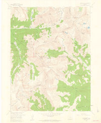
1958 Map of Montezuma
USGS Topo · Published 1960About this map
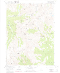
Montezuma sits at the confluence of several high-altitude drainages, serving as a hub for the intense mining activity that defined this section of the Continental Divide in the late 1950s. The landscape is dense with lode claims and workings, showing a transition from the legacy of early silver camps to modern mineral exploration. Prospectors and historians can trace the concentration of mines along Peru Creek, including the Maid of Orleans and the Pennsylvania Mine, while the southern slopes above the North Fork South Platte River Valley reveal higher-elevation operations like the Whale Mine and Missouri Mine. The map highlights the challenging alpine transportation routes of the era, such as the Webster Pass Trail crossing at Webster Pass, which historically linked the Snake River drainage with the Hall Valley district. This survey documents the specific locations of dozens of named mines and mountain peaks, including Argentine Peak and Geneva Peak, before late 20th-century preservation and environmental changes.
Find a feature on this map
83 named features on this map. Tap any name to fly to it.
Don’t see what you’re looking for? This feature index may not catch every label — zoom into the map to look around manually.
Map Details
Editions of this 1958 Montezuma Map
5 editions found
Other maps of this area

1903 · Georgetown
USGS Topo · 1:62,500

1905 · Georgetown
USGS Topo · 1:62,500

1924 · Montezuma
USGS Topo · 1:62,500

1926 · Montezuma
USGS Topo · 1:62,500

1933 · Montezuma
USGS Topo · 1:62,500

1937 · Como
USGS Topo · 1:62,500

1945 · Mount Logan
USGS Topo · 1:24,000

1948 · Mount Logan
USGS Topo · 1:24,000

1953 · Denver
USGS Topo · 1:250,000

1957 · Denver
USGS Topo · 1:250,000