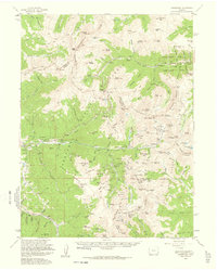
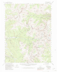
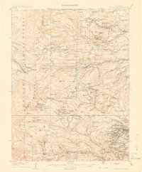
1958 Map of Montezuma
USGS Topo · Published 1961About this map
Montezuma and the surrounding high-altitude drainage basins of the Snake River define this late 1950s survey of the Continental Divide. The landscape is dominated by the legacy of the silver boom, with high-mountain mining operations like the Saints John Mine, Radical Mines, and the Whale Mine dotting the steep slopes of Revenue Mtn and Decatur Mtn. This era also marks the emergence of the modern recreation economy, as both the Loveland Ski Area and Arapahoe Basin Ski Area appear along the road to Loveland Pass.
Find a feature on this map
163 named features on this map. Tap any name to fly to it.
Don’t see what you’re looking for? This feature index may not catch every label — zoom into the map to look around manually.
Map Details
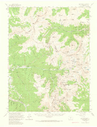
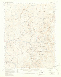
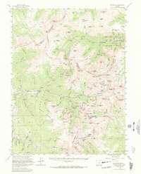
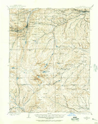
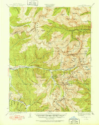
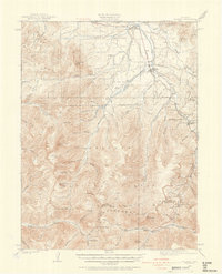
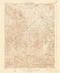
Editions of this 1958 Montezuma Map
5 editions found
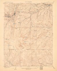
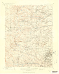
Other maps of this area

1889 · Leadville
USGS Topo · 1:125,000

1891 · Leadville
USGS Topo · 1:125,000
1903 · Georgetown
USGS Topo · 1:62,500

1905 · Central City
USGS Topo · 1:62,500
1905 · Georgetown
USGS Topo · 1:62,500
1910 · Central City
USGS Topo · 1:62,500
1912 · Central City
USGS Topo · 1:62,500
1924 · Montezuma
USGS Topo · 1:62,500
1924 · Fraser
USGS Topo · 1:62,500
1926 · Fraser
USGS Topo · 1:62,500