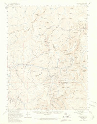
1958 Map of Montezuma
USGS Topo · Published 1966About this map
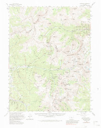
Mining operations and high alpine passes dominate this 1950s-era study of the Continental Divide region. The settlement of Montezuma serves as a central hub for a landscape densely packed with historic lode claims, including the Saints John Mine and the Pennsylvania Mine. The presence of a Cem near the village of Saints John and the industrial remnants at Tiger reflect the deep-rooted mining heritage of the Snake River valley.
Find a feature on this map
170 named features on this map. Tap any name to fly to it.
Don’t see what you’re looking for? This feature index may not catch every label — zoom into the map to look around manually.
Map Details
Editions of this 1958 Montezuma Map
5 editions found
Other maps of this area

1889 · Leadville
USGS Topo · 1:125,000

1891 · Leadville
USGS Topo · 1:125,000

1903 · Georgetown
USGS Topo · 1:62,500

1905 · Central City
USGS Topo · 1:62,500

1905 · Georgetown
USGS Topo · 1:62,500

1910 · Central City
USGS Topo · 1:62,500

1912 · Central City
USGS Topo · 1:62,500

1924 · Montezuma
USGS Topo · 1:62,500

1924 · Fraser
USGS Topo · 1:62,500

1926 · Fraser
USGS Topo · 1:62,500